2014 Map of Payment OE E
USGS Topo · Published 2014About this map
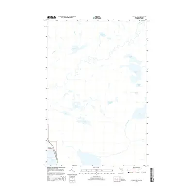
Churchville Point and the international border between the United States and Canada define the southwestern corner of this survey, where the waters of Lake George meet the shoreline. The landscape is dominated by an intricate drainage system feeding into the Garden River and the Lower Echo River. A high concentration of named interior lakes, such as Wigwas Lake, Boss Lake, and Bob Chips Lake, suggests a complex glacial topography that shaped the regional hydrology. Waterways like Driving Cr, Dead Horse Cr, and Elm Cr connect these basins, creating a dense network of streams and wetlands. The placement of Churchville Point near the southern boundary serves as a primary reference point for this borderland area, illustrating the transition from the broader expanse of Lake George to the heavily lake-dotted interior of the Algoma District.
Find a feature on this map
22 named features on this map. Tap any name to fly to it.
Don’t see what you’re looking for? This feature index may not catch every label — zoom into the map to look around manually.
Map Details
Editions of this 2014 Payment OE E Map
This is the sole edition of this map. No revisions or reprints were ever made.
Other maps of this area

1919 · Neebish
USGS Topo · 1:62,500

1941 · Neebish
USGS Topo · 1:63,360

1951 · Baie De Wasai
USGS Topo · 1:24,000

1951 · Payment
USGS Topo · 1:24,000

1951 · Lake George
USGS Topo · 1:62,500

1954 · Sault Sainte Marie
USGS Topo · 1:250,000

1956 · Sault Sainte Marie
USGS Topo · 1:250,000

1957 · Sault Sainte Marie
USGS Topo · 1:250,000

1958 · Sault Sainte Marie
USGS Topo · 1:250,000

1961 · Blind River
USGS Topo · 1:250,000