2017 Map of Payment OE E
USGS Topo · Published 2017About this map
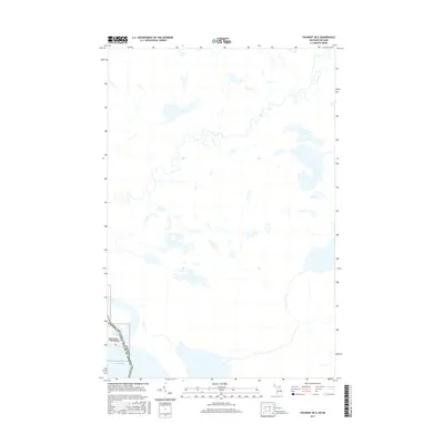
Lake George and the winding Old Channel define the international boundary landscape in this 2017 survey of the border region between Michigan and Canada. The settlement of Churchville sits near the water's edge in Chippewa County, serving as a primary point of interest in an area otherwise characterized by its intricate hydrography and wetland networks. The map details the precise line where the United States of America meets its northern neighbor, illustrating how the historical shipping channels and natural water bodies dictate the modern political frontier. Genealogists and local historians can trace the specific land divisions and rural road structures that support this quiet riverine community along the northern reach of the Great Lakes water system.
Find a feature on this map
7 named features on this map. Tap any name to fly to it.
Don’t see what you’re looking for? This feature index may not catch every label — zoom into the map to look around manually.
Map Details
Editions of this 2017 Payment OE E Map
This is the sole edition of this map. No revisions or reprints were ever made.
Other maps of this area

1919 · Neebish
USGS Topo · 1:62,500

1941 · Neebish
USGS Topo · 1:63,360

1951 · Baie De Wasai
USGS Topo · 1:24,000

1951 · Payment
USGS Topo · 1:24,000

1951 · Lake George
USGS Topo · 1:62,500

1954 · Sault Sainte Marie
USGS Topo · 1:250,000

1956 · Sault Sainte Marie
USGS Topo · 1:250,000

1957 · Sault Sainte Marie
USGS Topo · 1:250,000

1958 · Sault Sainte Marie
USGS Topo · 1:250,000

1961 · Blind River
USGS Topo · 1:250,000