2019 Map of Payment OE E
USGS Topo · Published 2019About this map
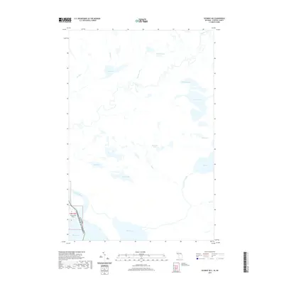
Saint Marys River and the international boundary define the southwestern edge of this landscape, where the Old Channel leads into the expansive waters of Lake George. This maritime borderland is characterized by a dense network of inland water bodies and creeks that drainage the interior forest. Named features like Bob Chips Lake, Wigwas Lake, and Wahbunose Lake suggest local identifiers and potential heritage sites in this lake-rich region. The topography is dominated by hydrological features, from the Garden River in the north to Echo Lake in the south, illustrating the complex watershed that feeds into Lake Huron. The presence of Churchville Point provides a specific land-based reference along the river, marking a point of interest for those studying the historical navigation and settlement patterns along the U.S. and Canadian border.
Find a feature on this map
22 named features on this map. Tap any name to fly to it.
Don’t see what you’re looking for? This feature index may not catch every label — zoom into the map to look around manually.
Map Details
Editions of this 2019 Payment OE E Map
This is the sole edition of this map. No revisions or reprints were ever made.
Other maps of this area

1919 · Neebish
USGS Topo · 1:62,500

1941 · Neebish
USGS Topo · 1:63,360

1951 · Baie De Wasai
USGS Topo · 1:24,000

1951 · Payment
USGS Topo · 1:24,000

1951 · Lake George
USGS Topo · 1:62,500

1954 · Sault Sainte Marie
USGS Topo · 1:250,000

1956 · Sault Sainte Marie
USGS Topo · 1:250,000

1957 · Sault Sainte Marie
USGS Topo · 1:250,000

1958 · Sault Sainte Marie
USGS Topo · 1:250,000

1961 · Blind River
USGS Topo · 1:250,000