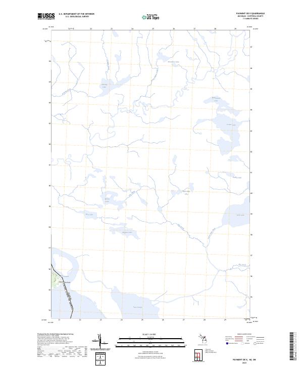
2023 Map of Payment OE E
USGS Topo · Published 2023About this map
Lake George and the international boundary between the United States of America and Canada define this northern water-dominated landscape in Chippewa County. The intricate shoreline at Churchville Point marks the transition from the broad expanse of the lake into the Old Channel, a significant navigational and ecological corridor. This modern survey illustrates a complex network of glacial lakes and wetlands, where the Lower Echo River and Elm Creek drain a system of smaller bodies including Wigwas Lake, Bob Chips Lake, and Meniss Lake. The nomenclature on this map, such as Dead Horse Creek and Wahbunose Lake, reflects a blend of local heritage and the physical realities of the Upper Peninsula's hydrologic patterns. For researchers, the map provides a precise contemporary record of water levels and drainage routes through the interior forests and along the riverine borderlands.
Find a feature on this map
21 named features on this map. Tap any name to fly to it.
Don’t see what you’re looking for? This feature index may not catch every label — zoom into the map to look around manually.
Map Details
Editions of this 2023 Payment OE E Map
This is the sole edition of this map. No revisions or reprints were ever made.
Other maps of this area

1919 · Neebish
USGS Topo · 1:62,500

1941 · Neebish
USGS Topo · 1:63,360

1951 · Baie De Wasai
USGS Topo · 1:24,000

1951 · Payment
USGS Topo · 1:24,000

1951 · Lake George
USGS Topo · 1:62,500

1954 · Sault Sainte Marie
USGS Topo · 1:250,000

1956 · Sault Sainte Marie
USGS Topo · 1:250,000

1957 · Sault Sainte Marie
USGS Topo · 1:250,000

1958 · Sault Sainte Marie
USGS Topo · 1:250,000

1961 · Blind River
USGS Topo · 1:250,000