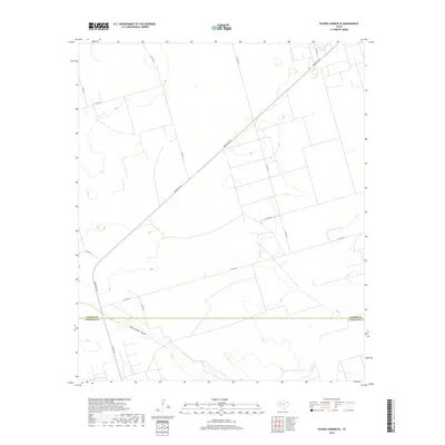
2019 Map of Paynes Corner SE
USGS Topo · Published 2019About this map
Monument Draw cuts through the arid landscape of the High Plains at the boundary between Gaines and Andrews counties. This 2019 survey captures a rural Texas ranching and oil-field environment defined by a grid of county roads and larger thoroughfares like Ranch Rd 181 and N Fm 181. The topography is relatively flat, with subtle elevation changes marked along the draw.
Find a feature on this map
12 named features on this map. Tap any name to fly to it.
Don’t see what you’re looking for? This feature index may not catch every label — zoom into the map to look around manually.
Map Details
Editions of this 2019 Paynes Corner SE Map
This is the sole edition of this map. No revisions or reprints were ever made.
Other maps of this area

1954 · Hobbs
USGS Topo · 1:250,000

1958 · Hobbs
USGS Topo · 1:250,000

1969 · Seminole SW
USGS Topo · 1:24,000

1970 · Seminole
USGS Topo · 1:24,000

1971 · Paynes Corner
USGS Topo · 1:24,000

1971 · Brinson Ranch
USGS Topo · 1:24,000

1971 · Paynes Corner SE
USGS Topo · 1:24,000

1971 · Frankel City
USGS Topo · 1:24,000

1971 · Jumbo Hill
USGS Topo · 1:24,000
1971 · Paynes Corner NW
USGS Topo · 1:24,000