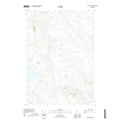
2018 Map of Peaked Mountain
USGS Topo · Published 2018About this map
Lower Cranberry Lake and the interconnected waters of the Mopang chain define this corner of Washington County, Maine. The landscape is characterized by a complex network of glacial features, where prominent elevations like Cranberry Mtn and Peaked Mtn rise above extensive wetlands and drainages. The West Branch Machias River flows through the northern reaches, while the Crooked River and Mopang Stream negotiate the low-lying basins between ridges. A few numbered logging roads, such as 31-00-0 RD, provide the only terrestrial access through this heavily forested area. The map illustrates a contemporary wilderness managed for timber and conservation, centered on the Mopang Lake system and several smaller basins including Peep Lake and Lily Lake. The county boundary between Hancock and Washington is clearly demarcated, cutting across the western edge near Cranberry Lake Ridge.
Find a feature on this map
28 named features on this map. Tap any name to fly to it.
Don’t see what you’re looking for? This feature index may not catch every label — zoom into the map to look around manually.
Map Details
Editions of this 2018 Peaked Mountain Map
This is the sole edition of this map. No revisions or reprints were ever made.
Other maps of this area

1929 · Lead Mountain
USGS Topo · 1:48,000

1932 · Nicatous Lake
USGS Topo · 1:48,000

1932 · Lead Mountain
USGS Topo · 1:62,500

1934 · Nicatous Lake
USGS Topo · 1:62,500

1941 · Tug Mountain
USGS Topo · 1:62,500

1941 · Wabassus Lake
USGS Topo · 1:62,500

1943 · Tug Mountain
USGS Topo · 1:62,500

1943 · Wabassus Lake
USGS Topo · 1:62,500

1948 · Bangor
USGS Topo · 1:250,000

1953 · Wabassus Lake
USGS Topo · 1:62,500