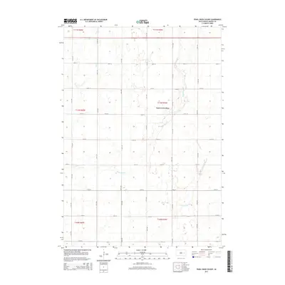
2015 Map of Pearl Creek Colony
USGS Topo · Published 2015About this map
Pearl Creek Colony sits at the heart of this Beadle County landscape, where the agricultural grid of South Dakota meets the winding drainage of the James River basin. The terrain is defined by the subtle, interlacing courses of Pearl Cr, Middle Pearl Cr, and the S Fork Pearl Cr, which meander through a series of sections north of 216th St. This 2015 survey reflects the enduring section-line road system, with numbered avenues like 414th Ave and streets such as 211th St providing the primary structure for the rural community. Highway 14 cuts across the northern reaches, serving as a vital east-west corridor through the prairie. The map provides a precise record of the Hutterite colony's geographic footprint and the surrounding hydrology of the Pearl Creek tributaries.
Find a feature on this map
25 named features on this map. Tap any name to fly to it.
Don’t see what you’re looking for? This feature index may not catch every label — zoom into the map to look around manually.
Map Details
Editions of this 2015 Pearl Creek Colony Map
This is the sole edition of this map. No revisions or reprints were ever made.
Other maps of this area

1898 · Huron
USGS Topo · 1:125,000

1899 · De Smet
USGS Topo · 1:125,000

1953 · Huron
USGS Topo · 1:250,000

1953 · Watertown
USGS Topo · 1:250,000

1954 · Huron
USGS Topo · 1:250,000

1957 · Forestburg NE
USGS Topo · 1:24,000

1957 · Cavour
USGS Topo · 1:24,000

1958 · Watertown
USGS Topo · 1:250,000
1958 · Huron NE
USGS Topo · 1:24,000

1971 · Iroquois
USGS Topo · 1:24,000