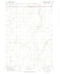
1971 Map of Pearl Creek Colony
USGS Topo · Published 1973About this map
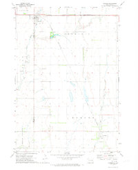
Pearl Creek Colony sits at the heart of this landscape, reflecting the communal settlement patterns typical of Beadle County during the early 1970s. The terrain is defined by the branching waterways of Pearl Creek, including the Middle Pearl Creek and South Fork Pearl Creek, which carve winding paths through the agricultural townships of Banner, Logan, and Belle Prairie.
Find a feature on this map
12 named features on this map. Tap any name to fly to it.
Don’t see what you’re looking for? This feature index may not catch every label — zoom into the map to look around manually.
Map Details
Editions of this 1971 Pearl Creek Colony Map
This is the sole edition of this map. No revisions or reprints were ever made.
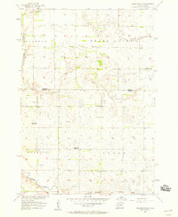
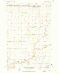
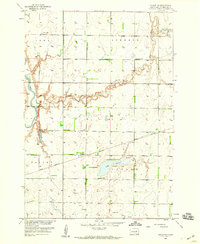
Other maps of this area

1898 · Huron
USGS Topo · 1:125,000

1899 · De Smet
USGS Topo · 1:125,000

1953 · Huron
USGS Topo · 1:250,000

1953 · Watertown
USGS Topo · 1:250,000

1954 · Huron
USGS Topo · 1:250,000
1957 · Forestburg NE
USGS Topo · 1:24,000
1957 · Cavour
USGS Topo · 1:24,000

1958 · Watertown
USGS Topo · 1:250,000
1958 · Huron NE
USGS Topo · 1:24,000
1971 · Iroquois
USGS Topo · 1:24,000