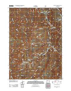
2011 Map of Pearsoll Peak
USGS Topo · Published 2011About this map
Pearsoll Peak towers over a landscape defined by industrial history and the winding Illinois River, where riverside bars like Panther Bar and Miami Bar highlight the river's geographic importance. The terrain is marked by a legacy of resource extraction, with numerous sites such as the Robertson Mine, Chrome King Mine, and Fall Creek Copper Mine scattered across the ridges and gulches.
Find a feature on this map
61 named features on this map. Tap any name to fly to it.
Don’t see what you’re looking for? This feature index may not catch every label — zoom into the map to look around manually.
Map Details
Editions of this 2011 Pearsoll Peak Map
This is the sole edition of this map. No revisions or reprints were ever made.
Other maps of this area

1917 · Kerby
USGS Topo · 1:125,000

1918 · Kerby
USGS Topo · 1:125,000

1945 · Kerby
USGS Topo · 1:125,000

1954 · Cave Junction
USGS Topo · 1:62,500

1954 · Selma
USGS Topo · 1:62,500

1954 · Chetco Peak
USGS Topo · 1:62,500

1954 · Pearsoll Peak
USGS Topo · 1:62,500

1955 · Medford
USGS Topo · 1:250,000

1957 · Medford
USGS Topo · 1:250,000

1958 · Medford
USGS Topo · 1:250,000