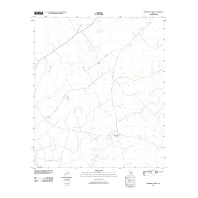
2010 Map of Pearsons Chapel
USGS Topo · Published 2010About this map
Pearsons Chapel serves as the focal point for this section of Houston County, characterized by a dendritic drainage network and a grid of rural farm-to-market roads. The settlement is anchored by its eponymous church, while the Bynum Cemetery to the north provides a significant landmark for genealogists and local historians. To the northwest, the small community of Cooper sits at the junction of FM 2967 and Co RD 3360.
Find a feature on this map
29 named features on this map. Tap any name to fly to it.
Don’t see what you’re looking for? This feature index may not catch every label — zoom into the map to look around manually.
Map Details
Editions of this 2010 Pearsons Chapel Map
This is the sole edition of this map. No revisions or reprints were ever made.
Other maps of this area

1950 · Crockett
USGS Topo · 1:24,000

1951 · Crockett
USGS Topo · 1:24,000

1953 · Palestine
USGS Topo · 1:250,000

1957 · Palestine
USGS Topo · 1:250,000

1962 · Lovelady South
USGS Topo · 1:24,000

1963 · Lovelady North
USGS Topo · 1:24,000

1964 · Sand Ridge
USGS Topo · 1:24,000

1964 · Austonio
USGS Topo · 1:24,000

1964 · Porter Springs
USGS Topo · 1:24,000

1964 · Pearsons Chapel
USGS Topo · 1:24,000