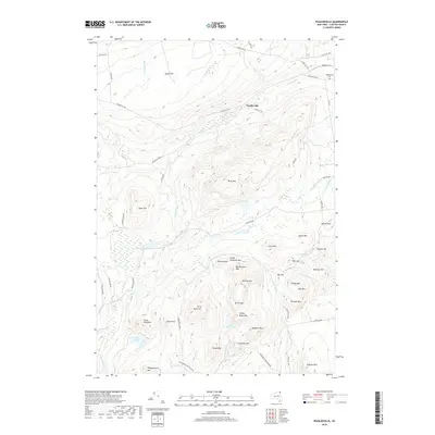
2019 Map of Peasleeville
USGS Topo · Published 2019About this map
Peasleeville and its surrounding uplands sit within the northern reaches of the Adirondack Park, where the landscape is defined by an intricate network of mountain peaks and watercourses. The local terrain is remarkably personal, evidenced by family-named landmarks like Larry Ryan Mtn and Nancy Ryan Mtn, alongside the more curious North Pole summit. Water defines the drainage patterns of the region, with the Salmon River and Little Ausable River cutting through the hills, while isolated bodies like Military Pond and Slush Pond occupy the low-lying basins between ridges.
Find a feature on this map
65 named features on this map. Tap any name to fly to it.
Don’t see what you’re looking for? This feature index may not catch every label — zoom into the map to look around manually.
Map Details
Editions of this 2019 Peasleeville Map
This is the sole edition of this map. No revisions or reprints were ever made.
Other maps of this area

1895 · Ausable
USGS Topo · 1:62,500

1896 · Lake Placid
USGS Topo · 1:62,500

1898 · Lake Placid
USGS Topo · 1:62,500

1903 · Ausable
USGS Topo · 1:62,500

1911 · Lyon Mountain
USGS Topo · 1:62,500

1913 · Dannemora
USGS Topo · 1:62,500

1913 · Lyon Mountain
USGS Topo · 1:62,500

1931 · Lyon Mountain
USGS Topo · 1:62,500

1950 · Lake Champlain
USGS Topo · 1:250,000

1953 · Lake Placid
USGS Topo · 1:62,500