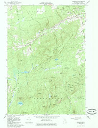
1966 Map of Peasleeville
USGS Topo · Published 1985About this map
The Salmon River and its numerous tributaries cut through a densely forested landscape in the Adirondack region, centering on the small settlement of Peasleeville in the mid-1960s. This survey illustrates the proximity of remote mountain peaks to local social centers like Zion Ch and the Peasleeville Cem. The terrain is characterized by numerous family-named summits, including Larry Ryan Mountain, Nancy Ryan Mountain, and Stewart Mountain, indicating a landscape deeply tied to local lineages and private holdings within the larger Clinton State Forest. Several small bodies of water, such as Mud Pond and Slush Pond, are scattered across the high ground, while the southern edge touches upon the hamlet of North Pole. The network of unimproved roads and fire trails, like Dugway Road, reflects the area's history of logging and state forest management within the Terry Mountain State Forest.
Find a feature on this map
54 named features on this map. Tap any name to fly to it.
Don’t see what you’re looking for? This feature index may not catch every label — zoom into the map to look around manually.
Map Details
Editions of this 1966 Peasleeville Map
2 editions found
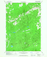
Other maps of this area

1895 · Ausable
USGS Topo · 1:62,500

1896 · Lake Placid
USGS Topo · 1:62,500

1898 · Lake Placid
USGS Topo · 1:62,500

1903 · Ausable
USGS Topo · 1:62,500

1911 · Lyon Mountain
USGS Topo · 1:62,500

1913 · Dannemora
USGS Topo · 1:62,500

1913 · Lyon Mountain
USGS Topo · 1:62,500

1931 · Lyon Mountain
USGS Topo · 1:62,500

1950 · Lake Champlain
USGS Topo · 1:250,000

1953 · Lake Placid
USGS Topo · 1:62,500