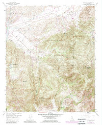
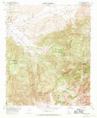
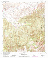
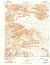
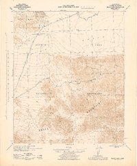
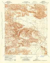
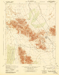
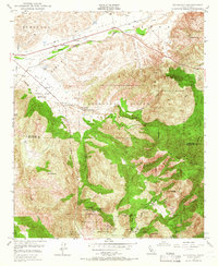
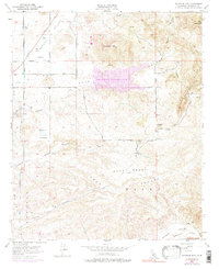
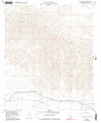
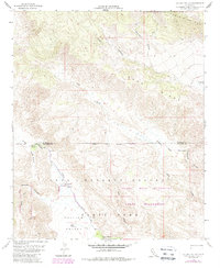
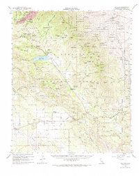
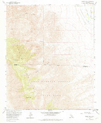
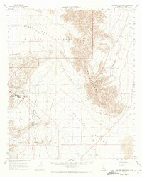
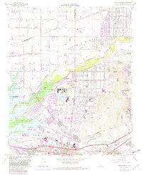
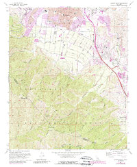
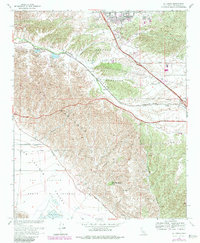
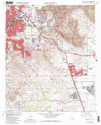
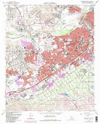
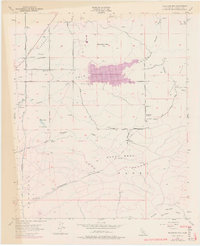
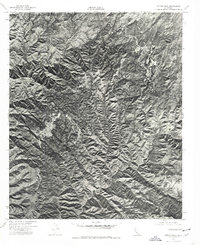
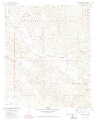
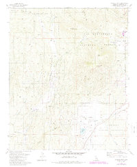
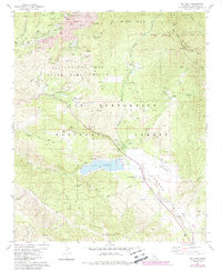
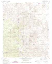
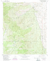
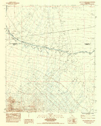
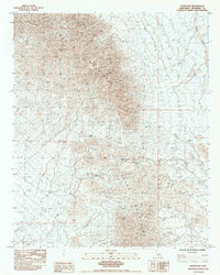
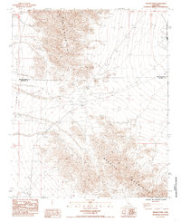
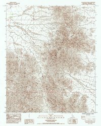
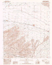
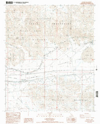
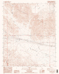
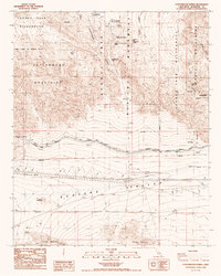
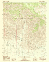
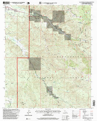
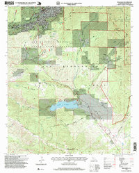
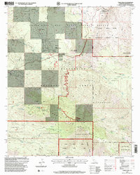
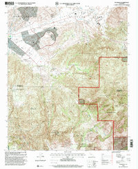
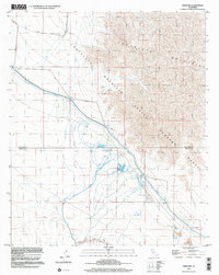
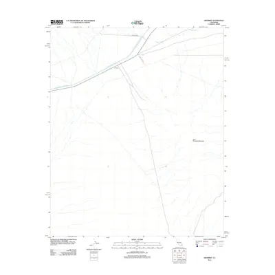
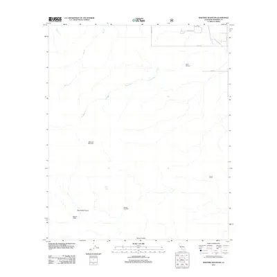
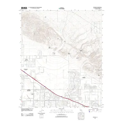
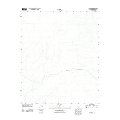
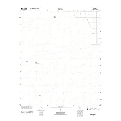
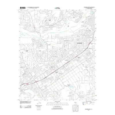
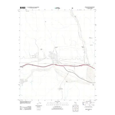
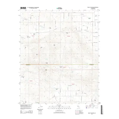
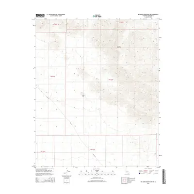
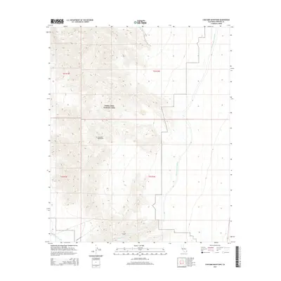
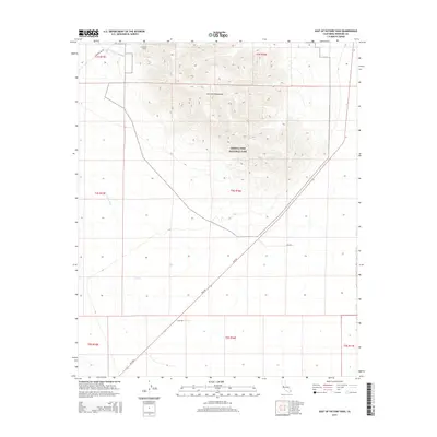
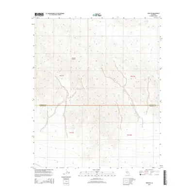
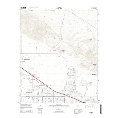
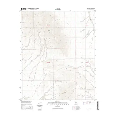
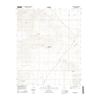
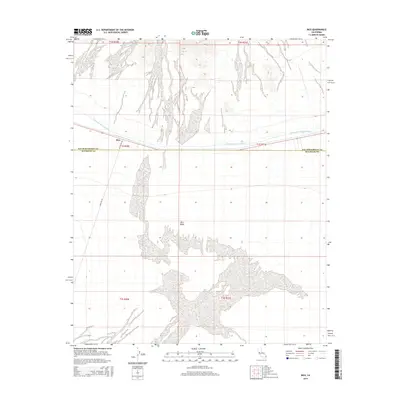
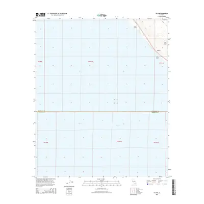
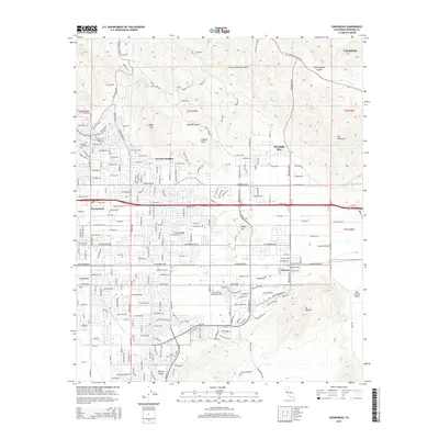
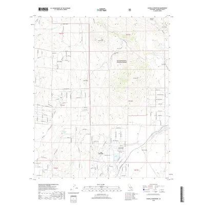
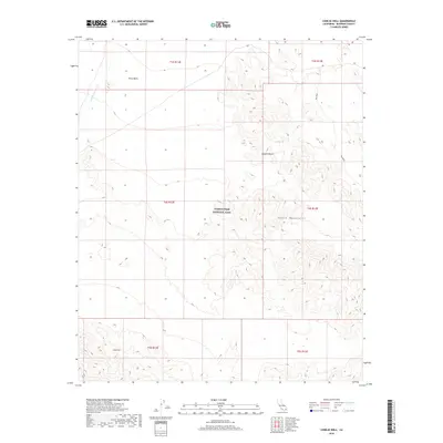
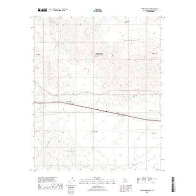
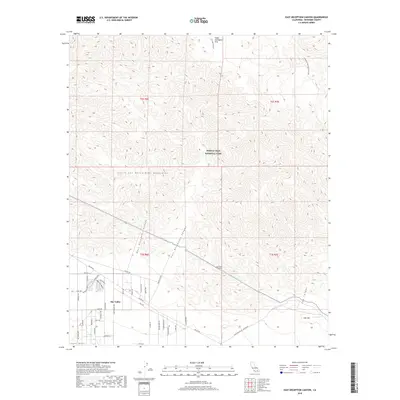
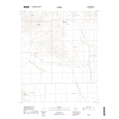
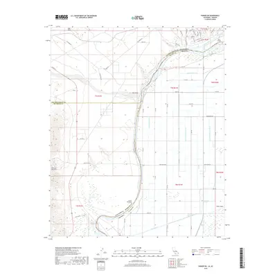
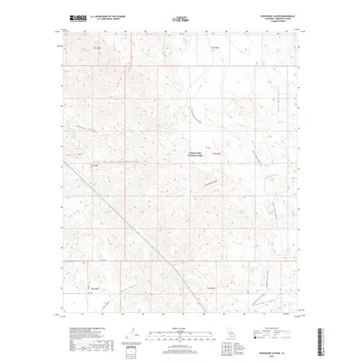
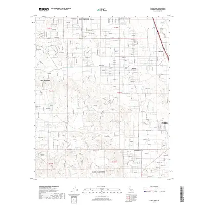
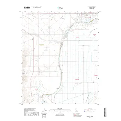
1968 Map of Pechanga
USGS Topo · Published 1988About this map
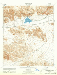
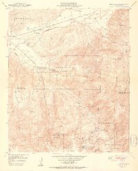
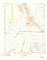
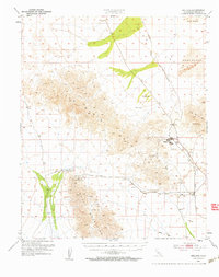
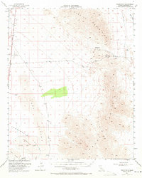
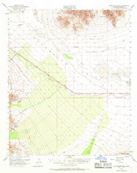
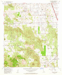
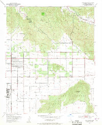
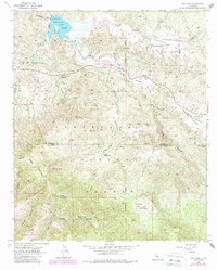
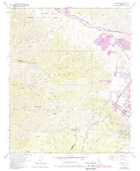
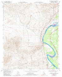
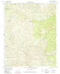
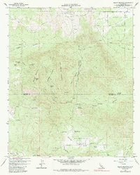
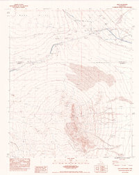
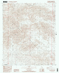
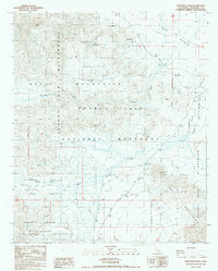
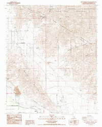
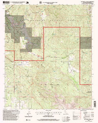
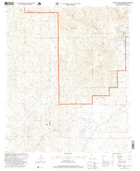
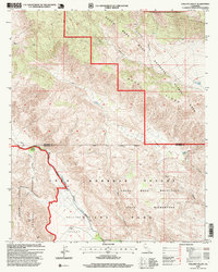
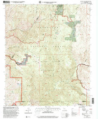
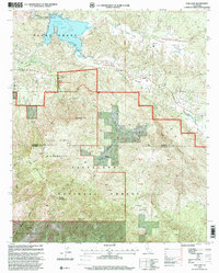
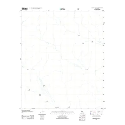
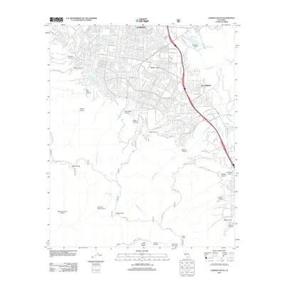
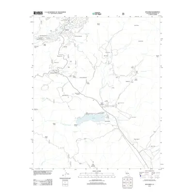
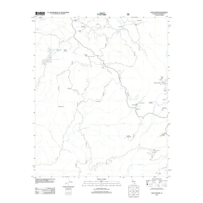
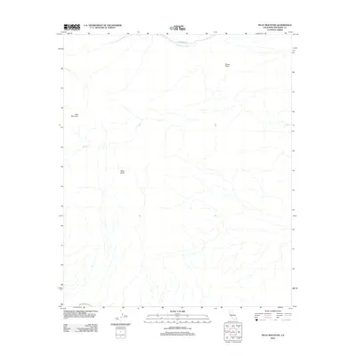
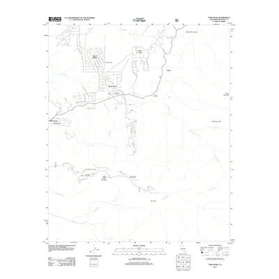
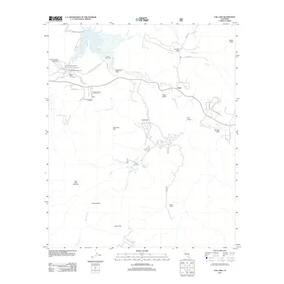
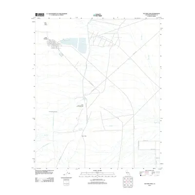
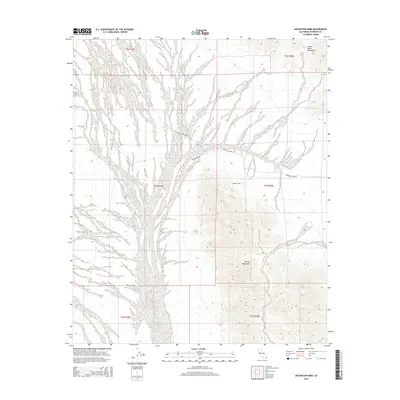
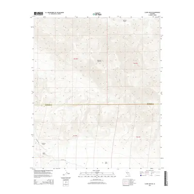
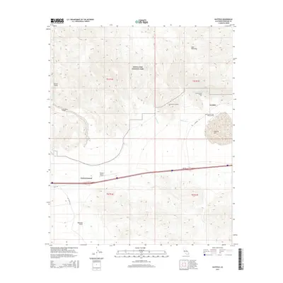
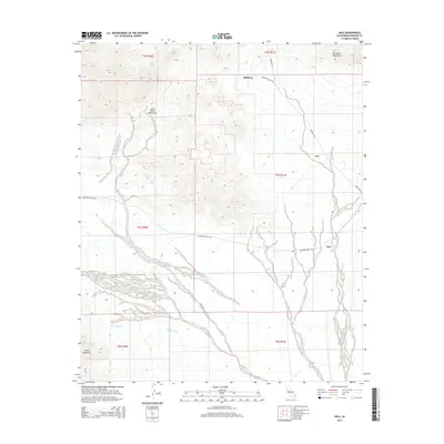
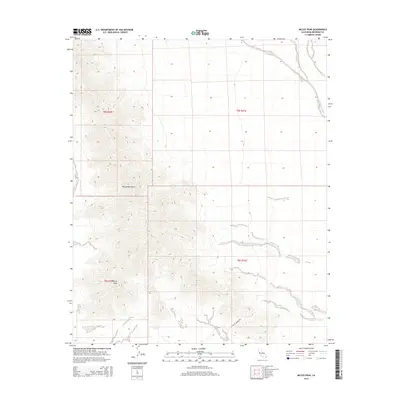
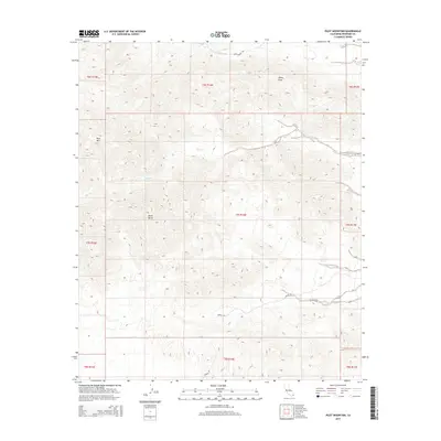
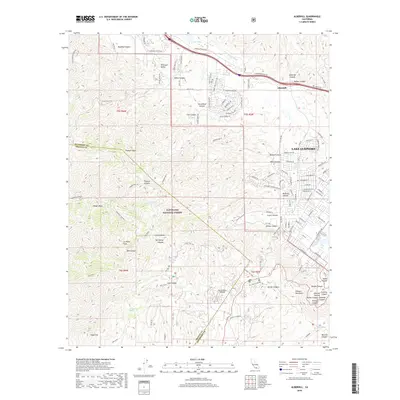
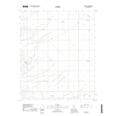
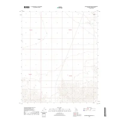
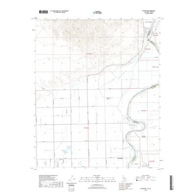
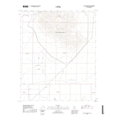
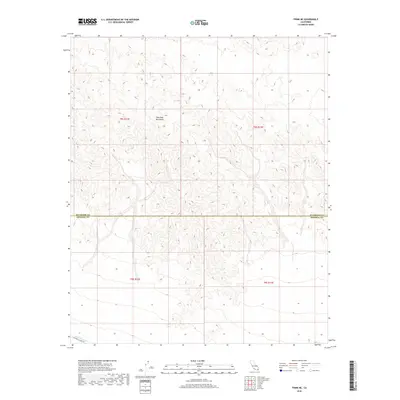
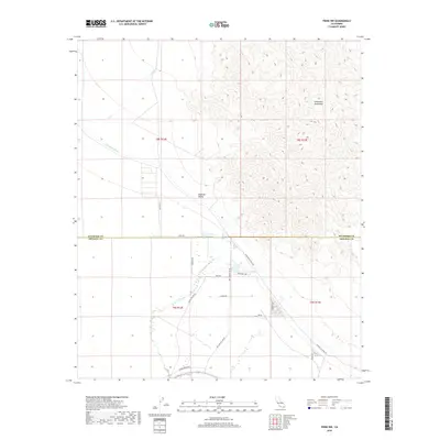
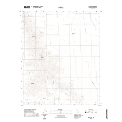
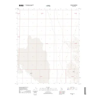
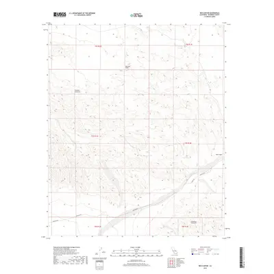
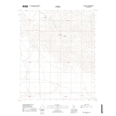
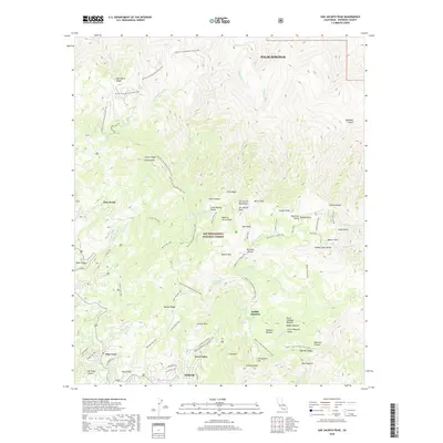
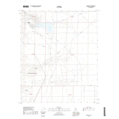
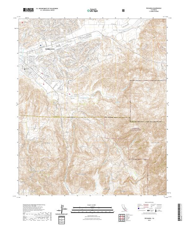
Pechanga Indian Reservation and the Pala Indian Reservation dominate this landscape along the border of Riverside and San Diego counties. The map documents a rugged interior geography defined by the Temecula Valley and Wolf Valley, where historic land use is marked by the Indian Burial Ground and the San Gabriel Church. This 1968 survey, with later 1980s updates, captures a specific era of gem mining history in Southern California, specifically identifying the Tourmaline King Mine, Tourmaline Queen Mine, and the White Cloud Mine near Tourmaline Queen Mtn. In the southern portion, the Rainbow Conservation Camp sits near the headwaters of Pala Creek, while the eastern reaches transition into the protected lands of the Cleveland National Forest and the Agua Tibia Wilderness.
Find a feature on this map
38 named features on this map. Tap any name to fly to it.
Don’t see what you’re looking for? This feature index may not catch every label — zoom into the map to look around manually.
Map Details
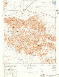
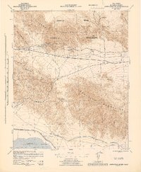
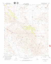
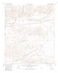
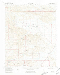
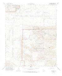
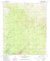
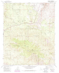
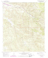
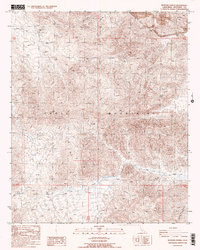
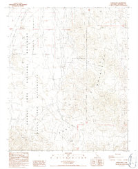
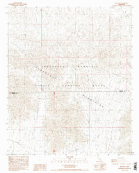
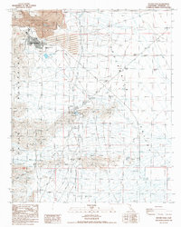
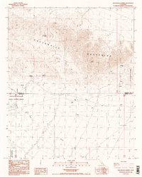
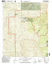
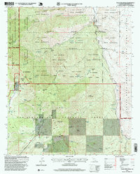
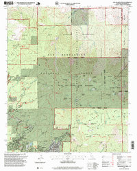
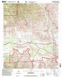
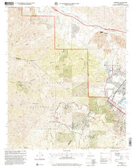
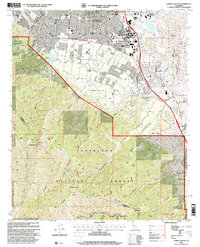
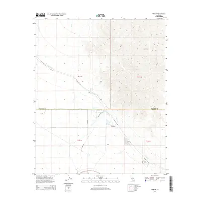
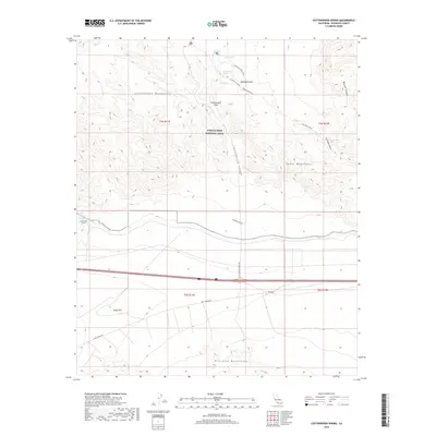
Editions of this 1968 Pechanga Map
3 editions found
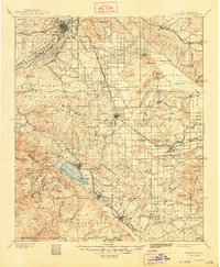
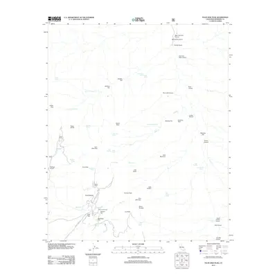
Historical Maps of Temecula Through Time
575 maps found
1901 Elsinore
Riverside County, CA
1940 Canyon Spring
Riverside County, CA

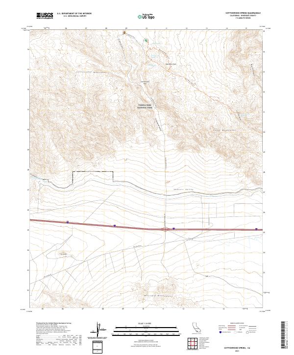
1940 Cottonwood Spring
Riverside County, CA

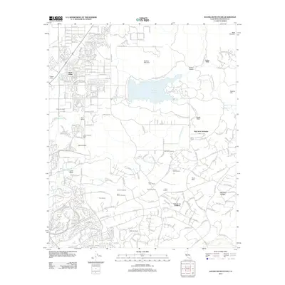
1940 Hemet Reservoir
Riverside County, CA

1941 Edom
Riverside County, CA

1941 Toro Peak
Riverside County, CA
1942 Corona and Vicinity
Riverside County, CA

1942 Hemet Reservoir
Riverside County, CA
1942 Riverside and Vicinity
Riverside County, CA

1943 Canyon Spring
Riverside County, CA
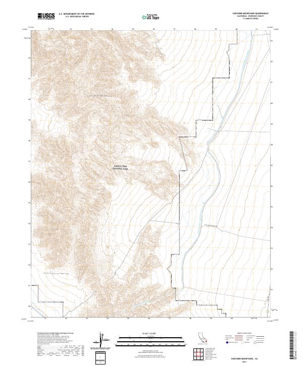
1943 Coxcomb Mountains
Riverside County, CA
1943 Pinkham Well
Riverside County, CA
1944 Chuckwalla Mountains
Riverside County, CA
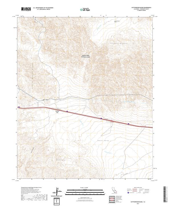
1944 Cottonwood Spring
Riverside County, CA
1944 Coxcomb Mountains
Riverside County, CA
1944 Eagle Tank
Riverside County, CA

1944 Edom
Riverside County, CA
1944 Pinkham Well
Riverside County, CA

1944 Pinyon Well
Riverside County, CA

1944 Toro peak
Riverside County, CA

1945 Big Maria Mtns
Riverside County, CA
1945 Midland
Riverside County, CA
1949 Pechanga
Riverside County, CA
1950 Pechanga
Riverside County, CA
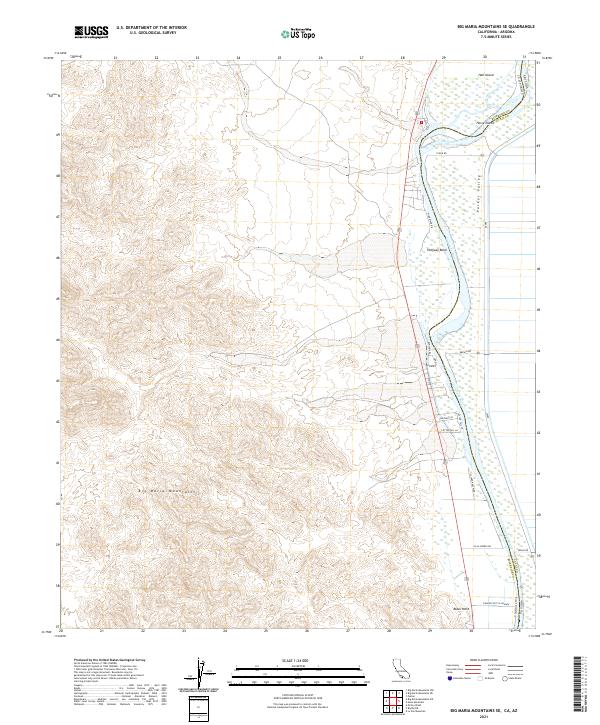
1951 Big Maria Mts
Riverside County, CA
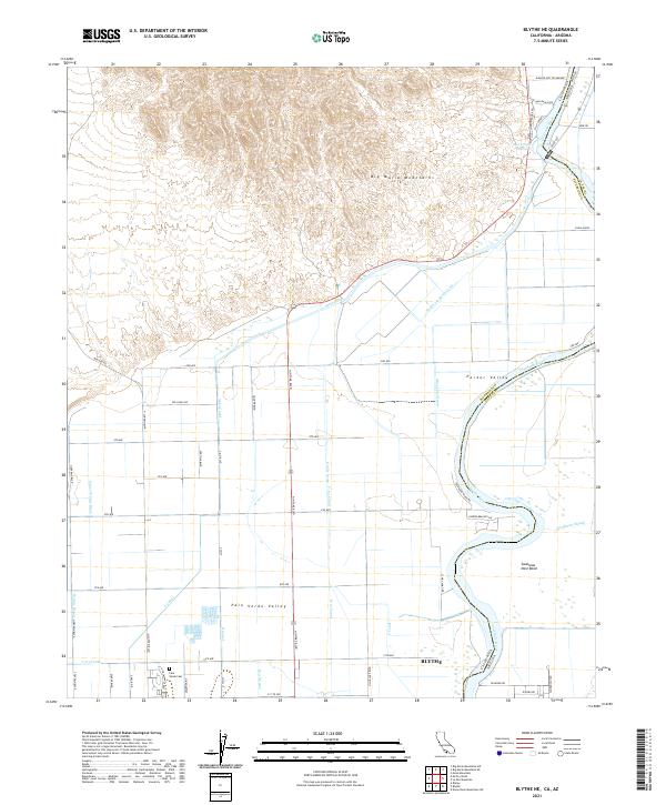
1951 Blythe NE
Riverside County, CA
1951 Mc Coy Wash
Riverside County, CA
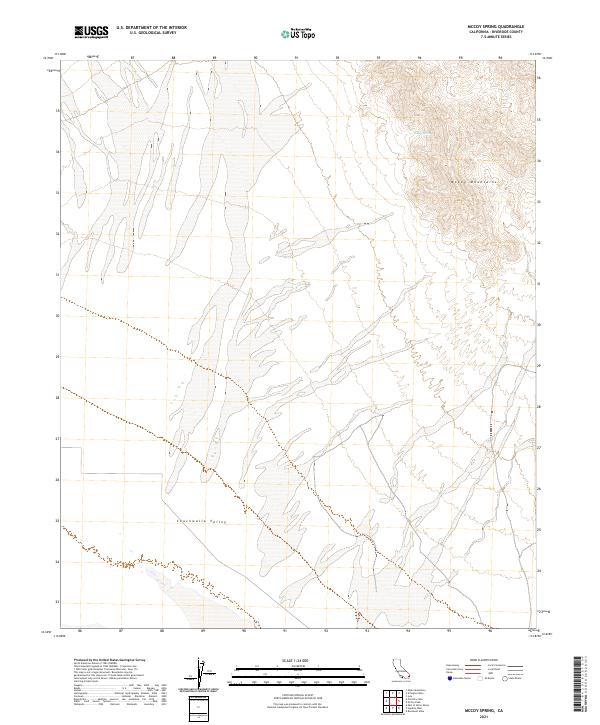
1952 McCoy Spring
Riverside County, CA
1952 Midland
Riverside County, CA
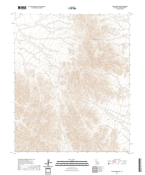
1952 Palen Mountains
Riverside County, CA
1952 Sidewinder Well
Riverside County, CA
1953 Bachelor Mtn
Riverside County, CA
1953 El Casco
Riverside County, CA
1953 Riverside East
Riverside County, CA
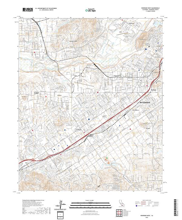
1953 Riverside West
Riverside County, CA
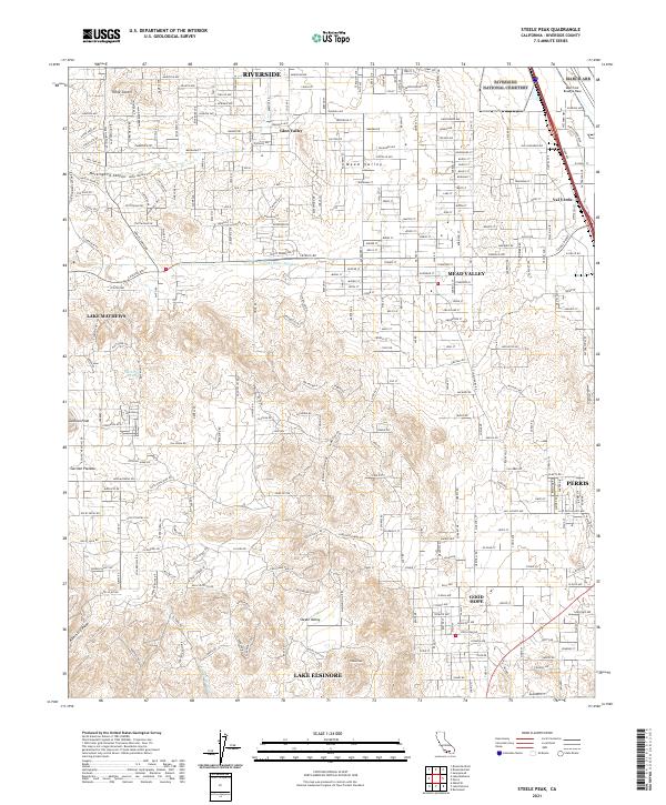
1953 Steele Peak
Riverside County, CA
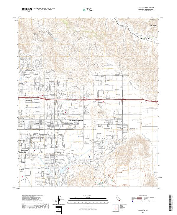
1953 Sunnymead
Riverside County, CA
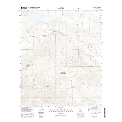
1953 Vail Lake
Riverside County, CA
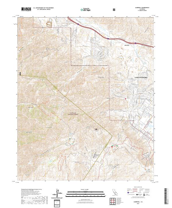
1954 Alberhill
Riverside County, CA
1954 Big Maria Mts. NE
Riverside County, CA
1954 Corona North
Riverside County, CA
1954 Corona South
Riverside County, CA
1954 Sitton Peak
Riverside County, CA
1955 Big Maria Mts. SE
Riverside County, CA
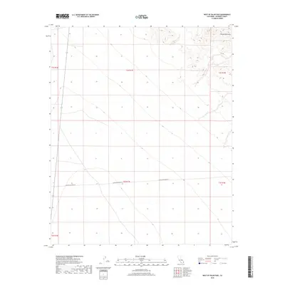
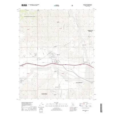
1955 White Water
Riverside County, CA
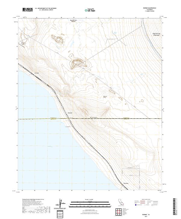
1956 Durmid
Riverside County, CA
1956 Frink NW
Riverside County, CA
1956 Lake Fulmor
Riverside County, CA
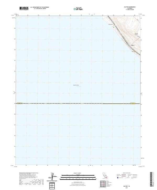
1956 Salton
Riverside County, CA
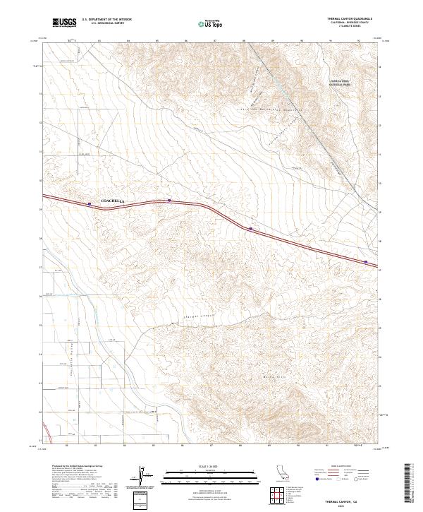
1956 Thermal Canyon
Riverside County, CA
1956 Valerie
Riverside County, CA
1958 Cottonwood Spring
Riverside County, CA
1958 Lost Horse Mtn
Riverside County, CA
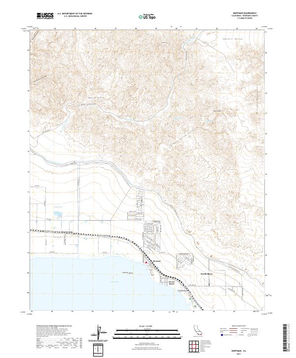
1958 Mortmar
Riverside County, CA
1958 Myoma
Riverside County, CA
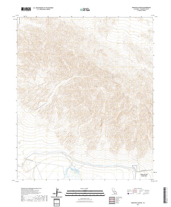
1958 Orocopia Canyon
Riverside County, CA

1958 Seven Palms Valley
Riverside County, CA
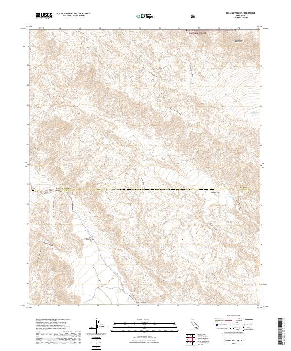
1959 Collins Valley
Riverside County, CA
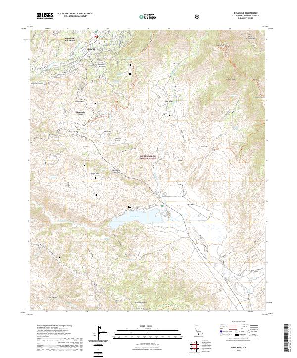
1959 Idyllwild
Riverside County, CA
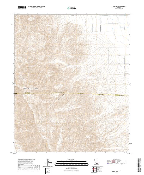
1959 Rabbit Peak
Riverside County, CA
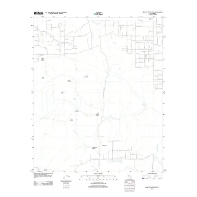
1960 Beauty Mountain
Riverside County, CA
1960 Bucksnort Mtn
Riverside County, CA
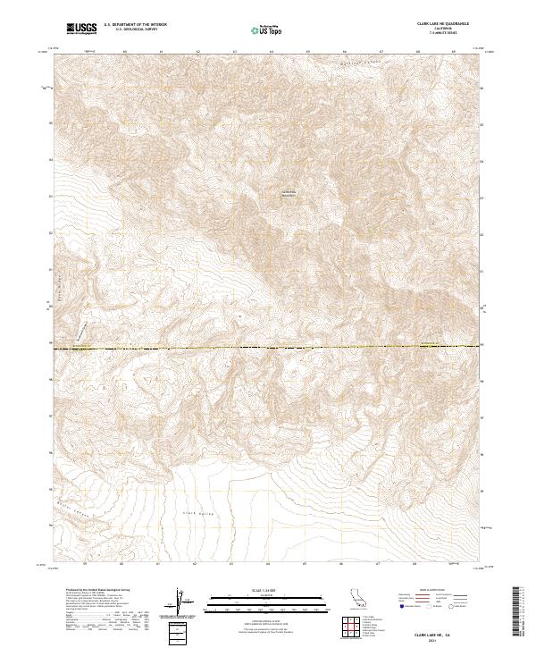
1960 Clark Lake NE
Riverside County, CA
1963 Chuckwalla Mountains
Riverside County, CA
1963 Coxcomb Mountains
Riverside County, CA
1963 Hayfield
Riverside County, CA
1963 Hexie Mountains
Riverside County, CA
1963 Pinto Basin
Riverside County, CA
1967 Corona North
Riverside County, CA
1967 Corona South
Riverside County, CA
1967 El Casco
Riverside County, CA
1967 Riverside East
Riverside County, CA
1967 Riverside West
Riverside County, CA
1967 Steele Peak
Riverside County, CA
1967 Sunnymead
Riverside County, CA
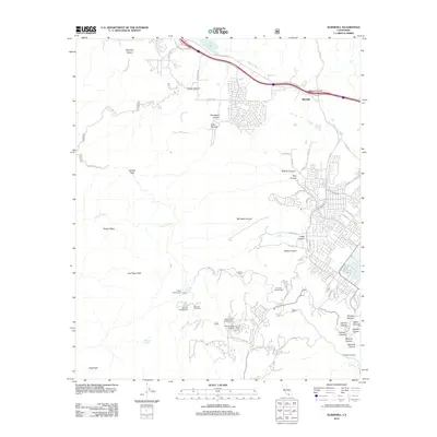
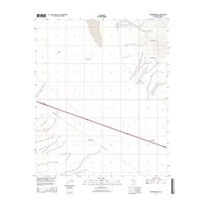
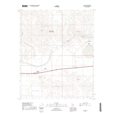
1968 Pechanga
Riverside County, CA
1970 Parker SW
Riverside County, CA
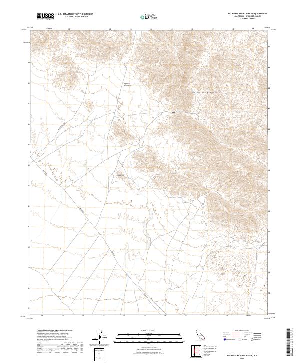
1971 Big Maria Mts. NW
Riverside County, CA
1971 Big Maria Mts SW
Riverside County, CA
1971 Grommet
Riverside County, CA
1971 Vidal
Riverside County, CA
1973 Bachelor Mtn
Riverside County, CA
1974 Alberhill
Riverside County, CA
1974 Corona South
Riverside County, CA
1974 Elsinore
Riverside County, CA
1974 Sitton Peak
Riverside County, CA
1975 Corona North
Riverside County, CA
1975 Palm Springs SW
Riverside County, CA
1978 Durmid
Riverside County, CA
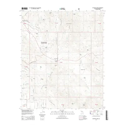
1981 Butterfly Peak
Riverside County, CA
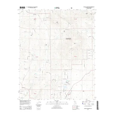
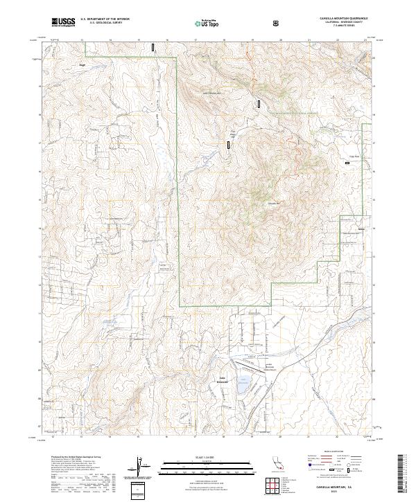
1981 Cahuilla Mtn
Riverside County, CA
1981 Idyllwild
Riverside County, CA
1981 Martinez Mtn
Riverside County, CA
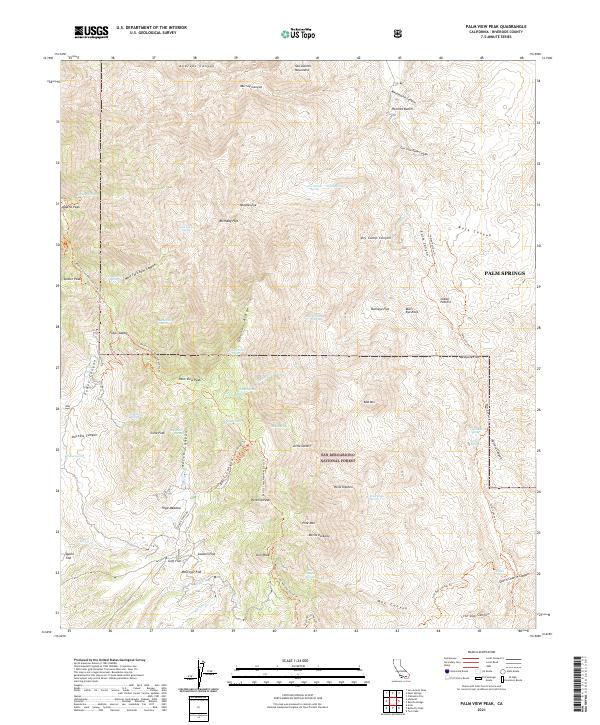
1981 Palm View Peak
Riverside County, CA
1981 San Jacinto Peak
Riverside County, CA
1981 Toro Peak
Riverside County, CA
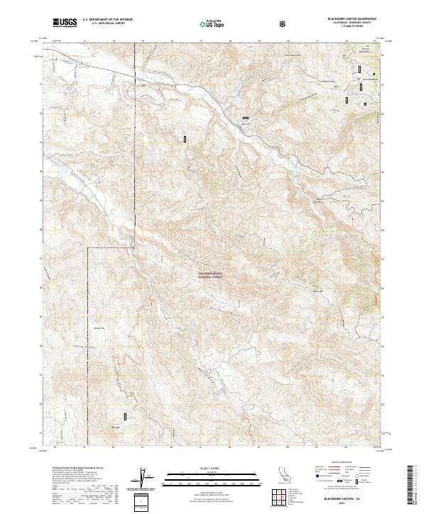
1982 Blackburn Canyon
Riverside County, CA
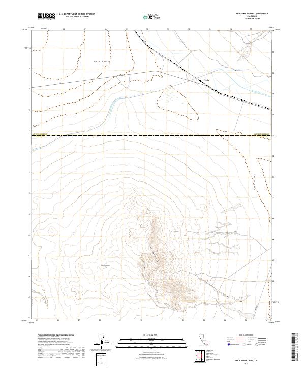
1983 Arica Mountains
Riverside County, CA
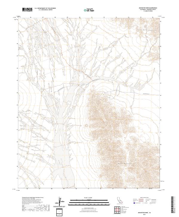
1983 Arlington Mine
Riverside County, CA
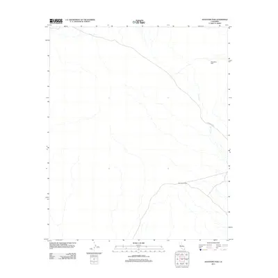
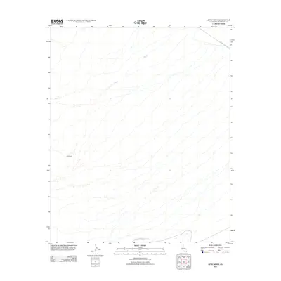
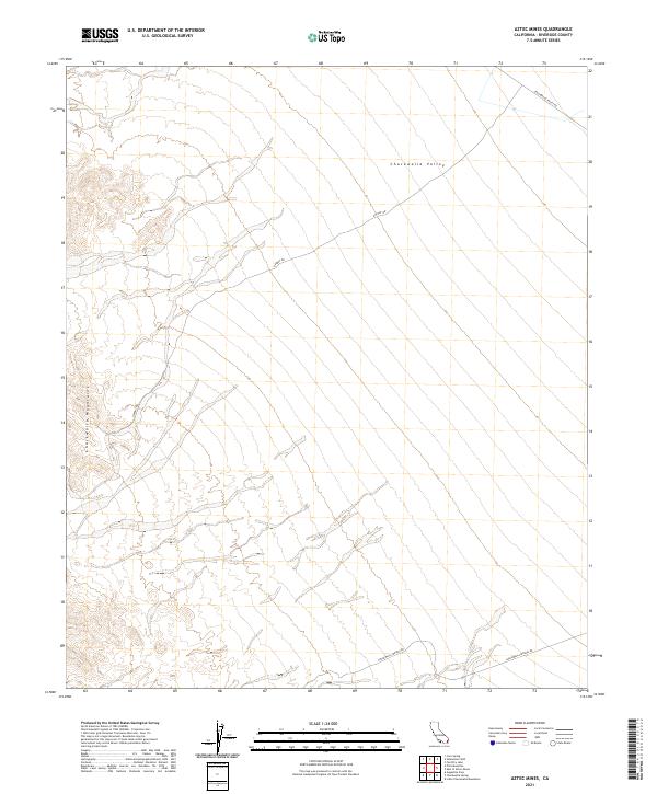
1983 Aztec Mines
Riverside County, CA
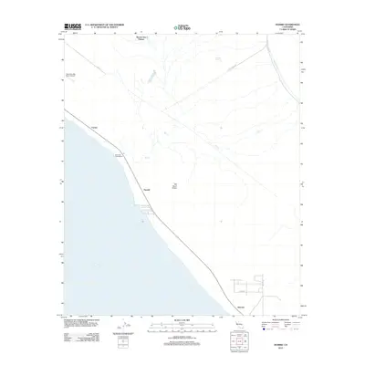
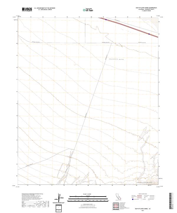
1983 East of Aztec Mines
Riverside County, CA
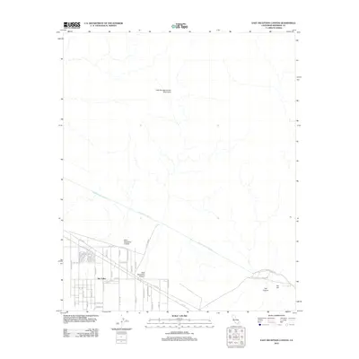
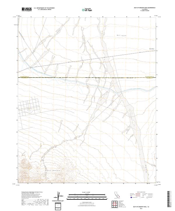
1983 East of Granite Pass
Riverside County, CA
1983 Ford Dry Lake
Riverside County, CA
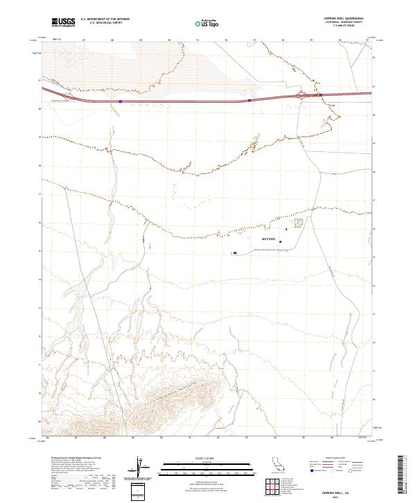
1983 Hopkins Well
Riverside County, CA
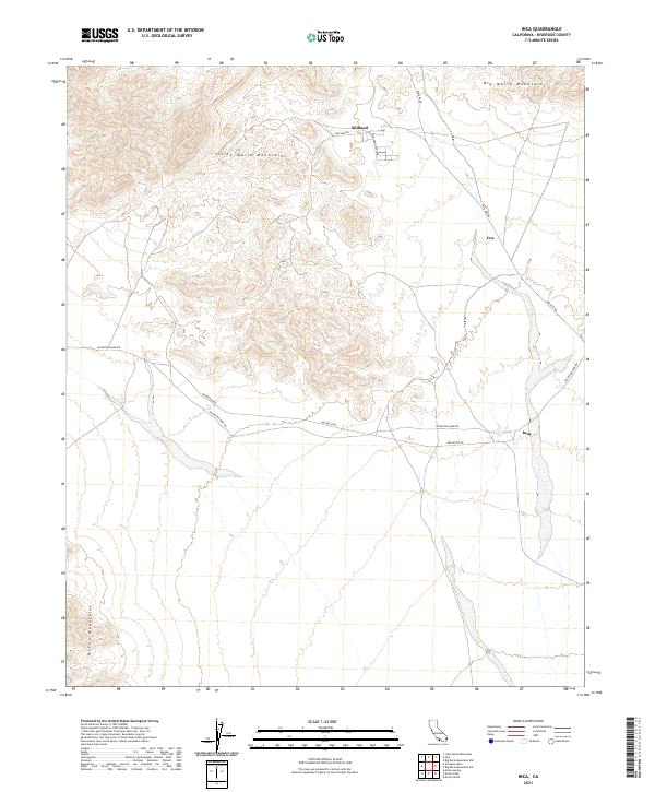
1983 Inca
Riverside County, CA
1983 Little Maria Mountains
Riverside County, CA
1983 Mc Coy Peak
Riverside County, CA
1983 McCoy Spring
Riverside County, CA
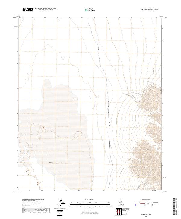
1983 Palen Lake
Riverside County, CA
1983 Palen Pass
Riverside County, CA
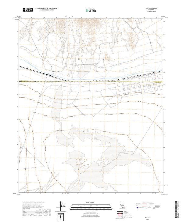
1983 Rice
Riverside County, CA
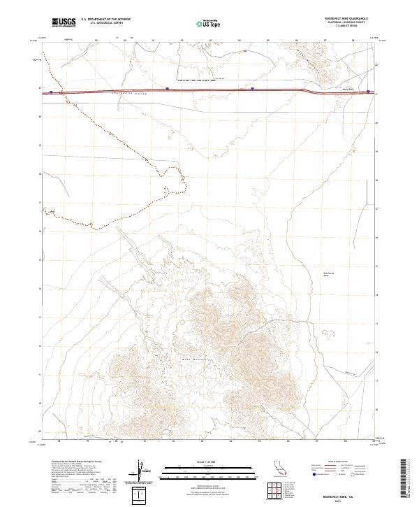
1983 Roosevelt Mine
Riverside County, CA
1983 Sidewinder Well
Riverside County, CA
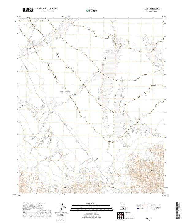
1983 Styx
Riverside County, CA
1983 Thumb Peak
Riverside County, CA
1983 West of Palen Pass
Riverside County, CA
1983 Wiley Well
Riverside County, CA
1985 Granite Pass
Riverside County, CA
1985 Palen Mountains
Riverside County, CA
1986 Buzzard Spring
Riverside County, CA
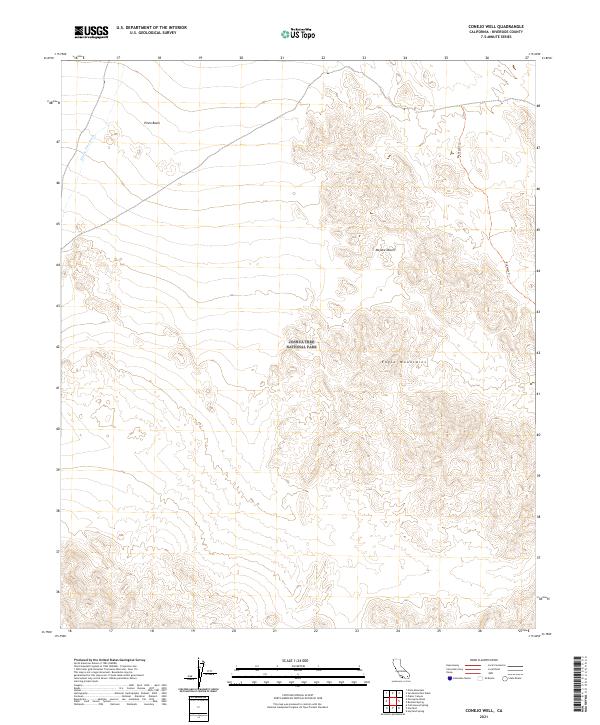
1986 Conejo Well
Riverside County, CA
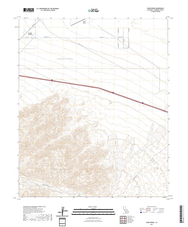
1986 Corn Spring
Riverside County, CA
1986 Eagle Mountains
Riverside County, CA
1986 Fried Liver Wash
Riverside County, CA
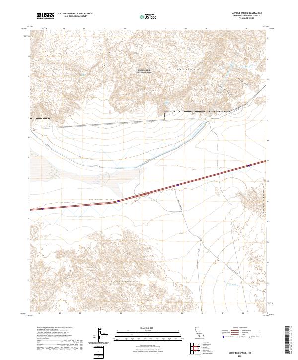
1986 Hayfield Spring
Riverside County, CA
1986 Pilot Mountain
Riverside County, CA
1986 Pinto Mountain
Riverside County, CA
1986 Pinto Wells
Riverside County, CA
1986 Placer Canyon
Riverside County, CA
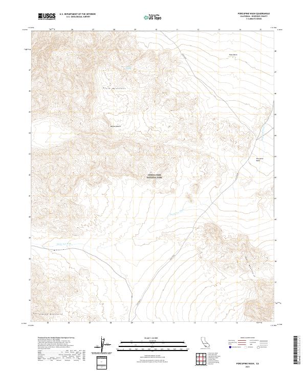
1986 Porcupine Wash
Riverside County, CA
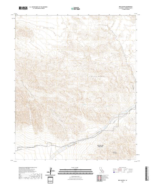
1986 Red Canyon
Riverside County, CA
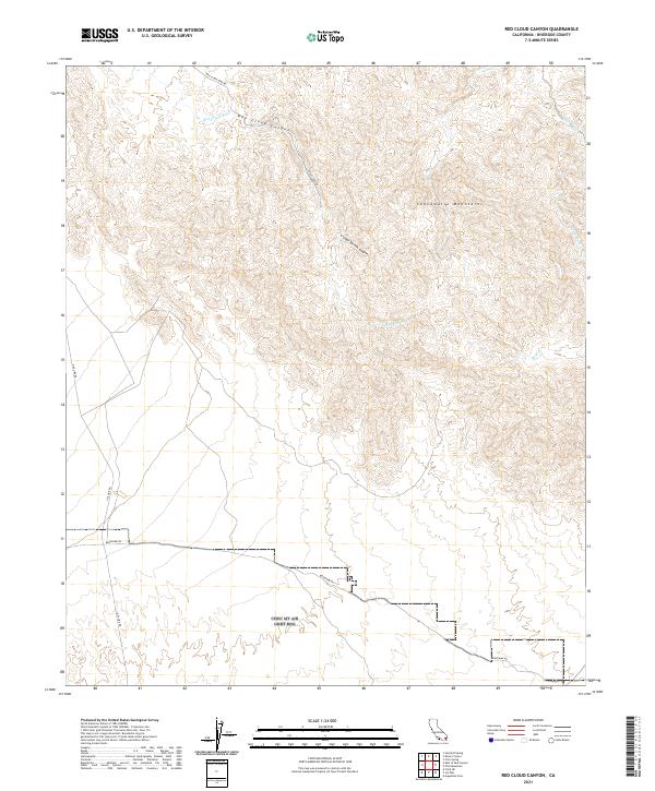
1986 Red Cloud Canyon
Riverside County, CA
1986 San Bernardino Wash
Riverside County, CA

1986 Washington Wash
Riverside County, CA
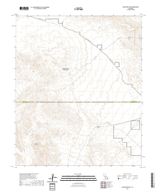
1987 Augustine Pass
Riverside County, CA
1987 Coxcomb Mts
Riverside County, CA
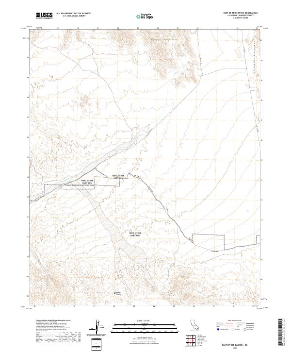
1987 East of Red Canyon
Riverside County, CA
1987 East of Victory Pass
Riverside County, CA
1987 Hayfield
Riverside County, CA
1987 Iris Pass
Riverside County, CA
1987 Victory Pass
Riverside County, CA
1988 Chuckwalla Spring
Riverside County, CA
1988 Cottonwood Basin
Riverside County, CA
1988 Cottonwood Spring
Riverside County, CA
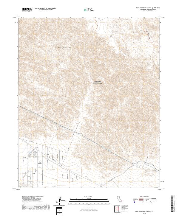
1988 East Deception Canyon
Riverside County, CA
1988 Frink NE
Riverside County, CA
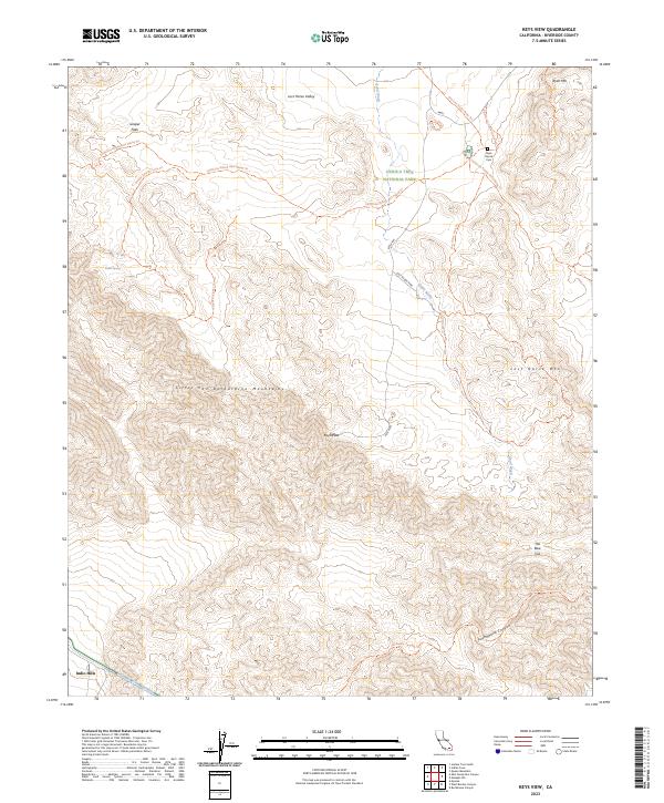
1988 Keys View
Riverside County, CA
1988 Little Chuckwalla Mountains
Riverside County, CA
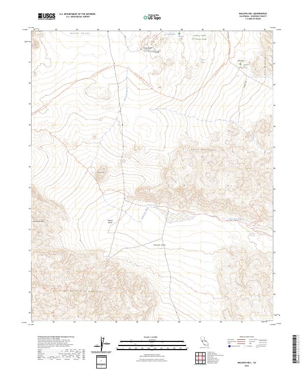
1988 Malapai Hill
Riverside County, CA
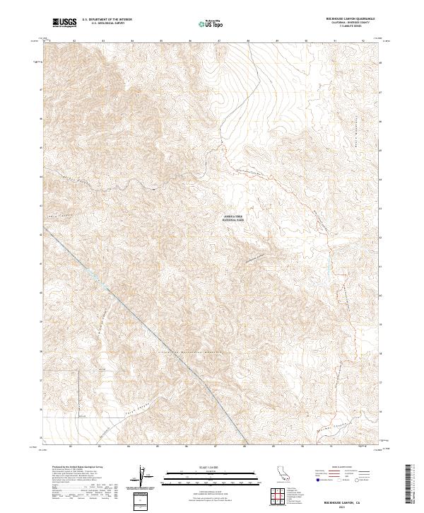
1988 Rockhouse Canyon
Riverside County, CA
1988 West Berdoo Canyon
Riverside County, CA
1992 Durmid
Riverside County, CA
1992 Frink NW
Riverside County, CA
1992 Salton
Riverside County, CA
1996 Blackburn Canyon
Riverside County, CA
1996 Butterfly Peak
Riverside County, CA
1996 Cahuilla Mountain
Riverside County, CA
1996 Collins Valley
Riverside County, CA
1996 Idyllwild
Riverside County, CA
1996 Lake Fulmor
Riverside County, CA

1996 Martinez Mountain
Riverside County, CA
1996 Palm View Peak
Riverside County, CA
1996 San Jacinto Peak
Riverside County, CA
1996 Toro Peak
Riverside County, CA
1996 White Water
Riverside County, CA
1997 Alberhill
Riverside County, CA
1997 Corona South
Riverside County, CA
1997 Pechanga
Riverside County, CA
1997 Sitton Peak
Riverside County, CA
1997 Vail Lake
Riverside County, CA
1998 Durmid
Riverside County, CA
1998 Frink NW
Riverside County, CA
1998 Keys View
Riverside County, CA
1998 Salton
Riverside County, CA
2002 Chuckwalla Mountains
Riverside County, CA
2002 Hayfield
Riverside County, CA
2003 Cottonwood Spring
Riverside County, CA
2012 Alberhill
Riverside County, CA

2012 Arica Mountains
Riverside County, CA
2012 Arlington Mine
Riverside County, CA
2012 Augustine Pass
Riverside County, CA
2012 Aztec Mines
Riverside County, CA
2012 Bachelor Mountain
Riverside County, CA
2012 Beauty Mountain
Riverside County, CA
2012 Big Maria Mountains NE
Riverside County, CA
2012 Big Maria Mountains NW
Riverside County, CA
2012 Big Maria Mountains SE
Riverside County, CA
2012 Big Maria Mountains SW
Riverside County, CA
2012 Blackburn Canyon
Riverside County, CA
2012 Blythe NE
Riverside County, CA
2012 Bucksnort Mountain
Riverside County, CA
2012 Butterfly Peak
Riverside County, CA
2012 Buzzard Spring
Riverside County, CA
2012 Cahuilla Mountain
Riverside County, CA
2012 Chuckwalla Spring
Riverside County, CA
2012 Clark Lake NE
Riverside County, CA
2012 Collins Valley
Riverside County, CA
2012 Conejo Well
Riverside County, CA
2012 Corn Spring
Riverside County, CA
2012 Corona North
Riverside County, CA
2012 Corona South
Riverside County, CA
2012 Cottonwood Basin
Riverside County, CA
2012 Cottonwood Spring
Riverside County, CA
2012 Coxcomb Mountains
Riverside County, CA
2012 Durmid
Riverside County, CA
2012 East Deception Canyon
Riverside County, CA
2012 East of Aztec Mines
Riverside County, CA
2012 East of Granite Pass
Riverside County, CA
2012 East of Red Canyon
Riverside County, CA
2012 East of Victory Pass
Riverside County, CA
2012 El Casco
Riverside County, CA
2012 Ford Dry Lake
Riverside County, CA
2012 Fried Liver Wash
Riverside County, CA
2012 Frink NE
Riverside County, CA
2012 Frink NW
Riverside County, CA
2012 Granite Pass
Riverside County, CA
2012 Grommet
Riverside County, CA
2012 Hayfield
Riverside County, CA
2012 Hayfield Spring
Riverside County, CA
2012 Hopkins Well
Riverside County, CA
2012 Idyllwild
Riverside County, CA
2012 Inca
Riverside County, CA
2012 Iris Pass
Riverside County, CA
2012 Keys View
Riverside County, CA
2012 Lake Fulmor
Riverside County, CA
2012 Little Chuckwalla Mountains
Riverside County, CA
2012 Little Maria Mountains
Riverside County, CA
2012 Malapai Hill
Riverside County, CA
2012 Martinez Mountain
Riverside County, CA
2012 McCoy Peak
Riverside County, CA
2012 McCoy Spring
Riverside County, CA
2012 McCoy Wash
Riverside County, CA

2012 Mortmar
Riverside County, CA
2012 Myoma
Riverside County, CA
2012 Orocopia Canyon
Riverside County, CA
2012 Palen Lake
Riverside County, CA
2012 Palen Mountains
Riverside County, CA
2012 Palen Pass
Riverside County, CA
2012 Palm View Peak
Riverside County, CA
2012 Parker SW
Riverside County, CA
2012 Pechanga
Riverside County, CA
2012 Pilot Mountain
Riverside County, CA
2012 Pinto Mountain
Riverside County, CA
2012 Pinto Wells
Riverside County, CA

2012 Placer Canyon
Riverside County, CA
2012 Porcupine Wash
Riverside County, CA
2012 Rabbit Peak
Riverside County, CA
2012 Red Canyon
Riverside County, CA
2012 Red Cloud Canyon
Riverside County, CA

2012 Rice
Riverside County, CA
2012 Riverside East
Riverside County, CA
2012 Riverside West
Riverside County, CA
2012 Rockhouse Canyon
Riverside County, CA
2012 Roosevelt Mine
Riverside County, CA
2012 Salton
Riverside County, CA
2012 San Bernardino Wash
Riverside County, CA
2012 San Jacinto Peak
Riverside County, CA
2012 Seven Palms Valley
Riverside County, CA
2012 Sidewinder Well
Riverside County, CA
2012 Sitton Peak
Riverside County, CA

2012 Steele Peak
Riverside County, CA
2012 Styx
Riverside County, CA
2012 Sunnymead
Riverside County, CA
2012 Thermal Canyon
Riverside County, CA
2012 Thumb Peak
Riverside County, CA
2012 Toro Peak
Riverside County, CA
2012 Vail Lake
Riverside County, CA
2012 Valerie
Riverside County, CA
2012 Victory Pass
Riverside County, CA
2012 Vidal
Riverside County, CA

2012 Washington Wash
Riverside County, CA
2012 West Berdoo Canyon
Riverside County, CA
2012 West of Palen Pass
Riverside County, CA
2012 White Water
Riverside County, CA
2012 Wiley Well
Riverside County, CA
2015 Alberhill
Riverside County, CA
2015 Arica Mountains
Riverside County, CA
2015 Arlington Mine
Riverside County, CA
2015 Augustine Pass
Riverside County, CA
2015 Aztec Mines
Riverside County, CA
2015 Bachelor Mountain
Riverside County, CA
2015 Beauty Mountain
Riverside County, CA
2015 Big Maria Mountains NE
Riverside County, CA
2015 Big Maria Mountains NW
Riverside County, CA
2015 Big Maria Mountains SE
Riverside County, CA
2015 Big Maria Mountains SW
Riverside County, CA
2015 Blackburn Canyon
Riverside County, CA
2015 Blythe NE
Riverside County, CA
2015 Bucksnort Mountain
Riverside County, CA
2015 Butterfly Peak
Riverside County, CA
2015 Buzzard Spring
Riverside County, CA
2015 Cahuilla Mountain
Riverside County, CA
2015 Chuckwalla Spring
Riverside County, CA
2015 Clark Lake NE
Riverside County, CA
2015 Collins Valley
Riverside County, CA
2015 Conejo Well
Riverside County, CA
2015 Corn Spring
Riverside County, CA
2015 Corona North
Riverside County, CA
2015 Corona South
Riverside County, CA
2015 Cottonwood Basin
Riverside County, CA
2015 Cottonwood Spring
Riverside County, CA
2015 Coxcomb Mountains
Riverside County, CA

2015 Durmid
Riverside County, CA
2015 East Deception Canyon
Riverside County, CA
2015 East of Aztec Mines
Riverside County, CA
2015 East of Granite Pass
Riverside County, CA

2015 East of Red Canyon
Riverside County, CA
2015 East of Victory Pass
Riverside County, CA
2015 El Casco
Riverside County, CA
2015 Ford Dry Lake
Riverside County, CA
2015 Fried Liver Wash
Riverside County, CA
2015 Frink NE
Riverside County, CA
2015 Frink NW
Riverside County, CA
2015 Granite Pass
Riverside County, CA
2015 Grommet
Riverside County, CA
2015 Hayfield
Riverside County, CA
2015 Hayfield Spring
Riverside County, CA
2015 Hopkins Well
Riverside County, CA
2015 Idyllwild
Riverside County, CA
2015 Inca
Riverside County, CA
2015 Iris Pass
Riverside County, CA
2015 Keys View
Riverside County, CA
2015 Lake Fulmor
Riverside County, CA
2015 Little Chuckwalla Mountains
Riverside County, CA
2015 Little Maria Mountains
Riverside County, CA
2015 Malapai Hill
Riverside County, CA
2015 Martinez Mountain
Riverside County, CA
2015 McCoy Peak
Riverside County, CA
2015 McCoy Spring
Riverside County, CA
2015 McCoy Wash
Riverside County, CA
2015 Mortmar
Riverside County, CA
2015 Myoma
Riverside County, CA
2015 Orocopia Canyon
Riverside County, CA
2015 Palen Lake
Riverside County, CA
2015 Palen Mountains
Riverside County, CA
2015 Palen Pass
Riverside County, CA
2015 Palm View Peak
Riverside County, CA
2015 Parker SW
Riverside County, CA
2015 Pechanga
Riverside County, CA
2015 Pilot Mountain
Riverside County, CA
2015 Pinto Mountain
Riverside County, CA
2015 Pinto Wells
Riverside County, CA
2015 Placer Canyon
Riverside County, CA
2015 Porcupine Wash
Riverside County, CA
2015 Rabbit Peak
Riverside County, CA
2015 Red Canyon
Riverside County, CA
2015 Red Cloud Canyon
Riverside County, CA
2015 Rice
Riverside County, CA
2015 Riverside East
Riverside County, CA
2015 Riverside West
Riverside County, CA
2015 Rockhouse Canyon
Riverside County, CA

2015 Roosevelt Mine
Riverside County, CA
2015 Salton
Riverside County, CA
2015 San Bernardino Wash
Riverside County, CA
2015 San Jacinto Peak
Riverside County, CA
2015 Seven Palms Valley
Riverside County, CA
2015 Sidewinder Well
Riverside County, CA
2015 Sitton Peak
Riverside County, CA
2015 Steele Peak
Riverside County, CA
2015 Styx
Riverside County, CA
2015 Sunnymead
Riverside County, CA
2015 Thermal Canyon
Riverside County, CA
2015 Thumb Peak
Riverside County, CA
2015 Toro Peak
Riverside County, CA
2015 Vail Lake
Riverside County, CA
2015 Valerie
Riverside County, CA
2015 Victory Pass
Riverside County, CA
2015 Vidal
Riverside County, CA
2015 Washington Wash
Riverside County, CA
2015 West Berdoo Canyon
Riverside County, CA
2015 West of Palen Pass
Riverside County, CA

2015 White Water
Riverside County, CA
2015 Wiley Well
Riverside County, CA
2018 Alberhill
Riverside County, CA
2018 Arica Mountains
Riverside County, CA
2018 Arlington Mine
Riverside County, CA
2018 Augustine Pass
Riverside County, CA
2018 Aztec Mines
Riverside County, CA
2018 Bachelor Mountain
Riverside County, CA
2018 Beauty Mountain
Riverside County, CA
2018 Big Maria Mountains NE
Riverside County, CA
2018 Big Maria Mountains NW
Riverside County, CA
2018 Big Maria Mountains SE
Riverside County, CA
2018 Big Maria Mountains SW
Riverside County, CA
2018 Blackburn Canyon
Riverside County, CA
2018 Blythe NE
Riverside County, CA
2018 Bucksnort Mountain
Riverside County, CA
2018 Butterfly Peak
Riverside County, CA
2018 Buzzard Spring
Riverside County, CA
2018 Cahuilla Mountain
Riverside County, CA
2018 Chuckwalla Spring
Riverside County, CA
2018 Clark Lake NE
Riverside County, CA
2018 Collins Valley
Riverside County, CA
2018 Conejo Well
Riverside County, CA
2018 Corn Spring
Riverside County, CA
2018 Corona North
Riverside County, CA
2018 Corona South
Riverside County, CA
2018 Cottonwood Basin
Riverside County, CA
2018 Cottonwood Spring
Riverside County, CA
2018 Coxcomb Mountains
Riverside County, CA
2018 Durmid
Riverside County, CA
2018 East Deception Canyon
Riverside County, CA
2018 East of Aztec Mines
Riverside County, CA
2018 East of Granite Pass
Riverside County, CA
2018 East of Red Canyon
Riverside County, CA
2018 East of Victory Pass
Riverside County, CA
2018 El Casco
Riverside County, CA
2018 Ford Dry Lake
Riverside County, CA
2018 Fried Liver Wash
Riverside County, CA
2018 Frink NE
Riverside County, CA
2018 Frink NW
Riverside County, CA
2018 Granite Pass
Riverside County, CA
2018 Grommet
Riverside County, CA
2018 Hayfield
Riverside County, CA
2018 Hayfield Spring
Riverside County, CA
2018 Hopkins Well
Riverside County, CA
2018 Idyllwild
Riverside County, CA
2018 Inca
Riverside County, CA
2018 Iris Pass
Riverside County, CA
2018 Keys View
Riverside County, CA
2018 Lake Fulmor
Riverside County, CA
2018 Little Chuckwalla Mountains
Riverside County, CA
2018 Little Maria Mountains
Riverside County, CA
2018 Malapai Hill
Riverside County, CA
2018 Martinez Mountain
Riverside County, CA
2018 McCoy Peak
Riverside County, CA

2018 McCoy Spring
Riverside County, CA

2018 McCoy Wash
Riverside County, CA
2018 Mortmar
Riverside County, CA
2018 Myoma
Riverside County, CA
2018 Orocopia Canyon
Riverside County, CA
2018 Palen Lake
Riverside County, CA
2018 Palen Mountains
Riverside County, CA
2018 Palen Pass
Riverside County, CA
2018 Palm View Peak
Riverside County, CA
2018 Parker SW
Riverside County, CA
2018 Pechanga
Riverside County, CA
2018 Pilot Mountain
Riverside County, CA
2018 Pinto Mountain
Riverside County, CA
2018 Pinto Wells
Riverside County, CA
2018 Placer Canyon
Riverside County, CA
2018 Porcupine Wash
Riverside County, CA
2018 Rabbit Peak
Riverside County, CA
2018 Red Canyon
Riverside County, CA
2018 Red Cloud Canyon
Riverside County, CA

2018 Rice
Riverside County, CA
2018 Riverside East
Riverside County, CA
2018 Riverside West
Riverside County, CA
2018 Rockhouse Canyon
Riverside County, CA
2018 Roosevelt Mine
Riverside County, CA
2018 Salton
Riverside County, CA
2018 San Bernardino Wash
Riverside County, CA
2018 San Jacinto Peak
Riverside County, CA
2018 Seven Palms Valley
Riverside County, CA
2018 Sidewinder Well
Riverside County, CA
2018 Sitton Peak
Riverside County, CA
2018 Steele Peak
Riverside County, CA
2018 Styx
Riverside County, CA
2018 Sunnymead
Riverside County, CA
2018 Thermal Canyon
Riverside County, CA
2018 Thumb Peak
Riverside County, CA
2018 Toro Peak
Riverside County, CA
2018 Vail Lake
Riverside County, CA
2018 Valerie
Riverside County, CA
2018 Victory Pass
Riverside County, CA
2018 Vidal
Riverside County, CA
2018 Washington Wash
Riverside County, CA
2018 West Berdoo Canyon
Riverside County, CA
2018 West of Palen Pass
Riverside County, CA
2018 White Water
Riverside County, CA
2018 Wiley Well
Riverside County, CA
2021 Alberhill
Riverside County, CA
2021 Arica Mountains
Riverside County, CA
2021 Arlington Mine
Riverside County, CA
2021 Augustine Pass
Riverside County, CA
2021 Aztec Mines
Riverside County, CA
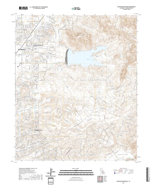
2021 Bachelor Mountain
Riverside County, CA
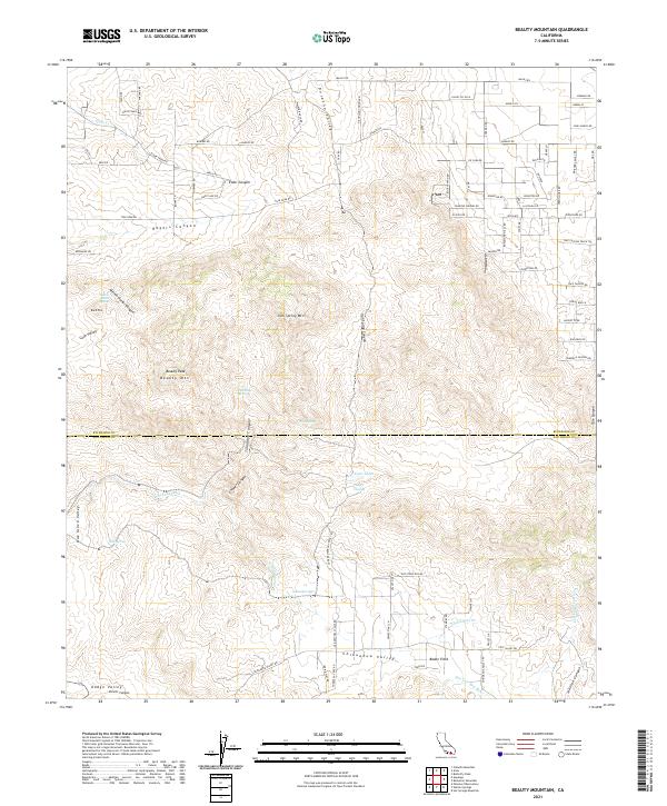
2021 Beauty Mountain
Riverside County, CA
2021 Big Maria Mountains NE
Riverside County, CA
2021 Big Maria Mountains NW
Riverside County, CA
2021 Big Maria Mountains SE
Riverside County, CA
2021 Big Maria Mountains SW
Riverside County, CA
2021 Blackburn Canyon
Riverside County, CA
2021 Blythe NE
Riverside County, CA
2021 Bucksnort Mountain
Riverside County, CA

2021 Butterfly Peak
Riverside County, CA
2021 Buzzard Spring
Riverside County, CA
2021 Cahuilla Mountain
Riverside County, CA
2021 Chuckwalla Spring
Riverside County, CA
2021 Clark Lake NE
Riverside County, CA
2021 Collins Valley
Riverside County, CA
2021 Conejo Well
Riverside County, CA
2021 Corn Spring
Riverside County, CA
2021 Cottonwood Basin
Riverside County, CA
2021 Cottonwood Spring
Riverside County, CA
2021 Coxcomb Mountains
Riverside County, CA
2021 Durmid
Riverside County, CA
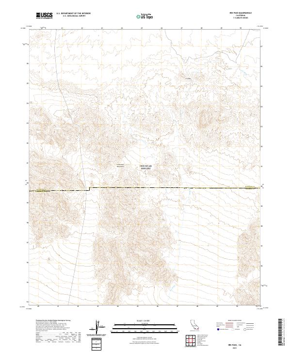
2021 East Deception Canyon
Riverside County, CA
2021 East of Aztec Mines
Riverside County, CA
2021 East of Granite Pass
Riverside County, CA
2021 East of Red Canyon
Riverside County, CA
2021 East of Victory Pass
Riverside County, CA
2021 Ford Dry Lake
Riverside County, CA
2021 Fried Liver Wash
Riverside County, CA
2021 Frink NE
Riverside County, CA
2021 Frink NW
Riverside County, CA
2021 Granite Pass
Riverside County, CA
2021 Grommet
Riverside County, CA
2021 Hayfield
Riverside County, CA
2021 Hayfield Spring
Riverside County, CA
2021 Hopkins Well
Riverside County, CA
2021 Idyllwild
Riverside County, CA
2021 Inca
Riverside County, CA
2021 Iris Pass
Riverside County, CA
2021 Keys View
Riverside County, CA
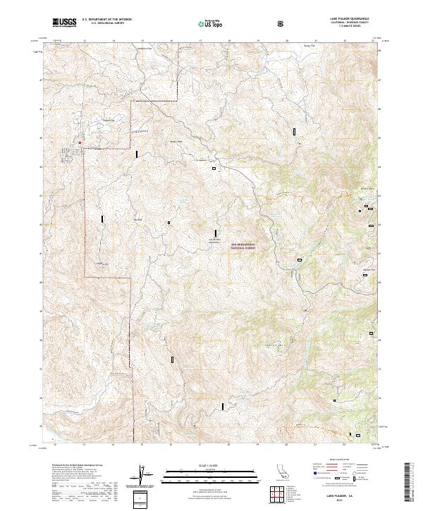
2021 Lake Fulmor
Riverside County, CA
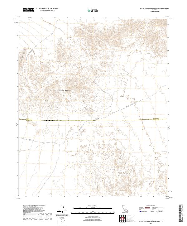
2021 Little Chuckwalla Mountains
Riverside County, CA
2021 Little Maria Mountains
Riverside County, CA
2021 Malapai Hill
Riverside County, CA
2021 Martinez Mountain
Riverside County, CA
2021 McCoy Peak
Riverside County, CA
2021 McCoy Spring
Riverside County, CA
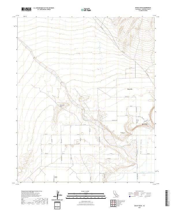
2021 McCoy Wash
Riverside County, CA
2021 Mortmar
Riverside County, CA
2021 Myoma
Riverside County, CA
2021 Orocopia Canyon
Riverside County, CA
2021 Palen Lake
Riverside County, CA
2021 Palen Mountains
Riverside County, CA

2021 Palen Pass
Riverside County, CA
2021 Palm View Peak
Riverside County, CA
2021 Parker SW
Riverside County, CA
2021 Pilot Mountain
Riverside County, CA

2021 Pinto Mountain
Riverside County, CA
2021 Pinto Wells
Riverside County, CA
2021 Placer Canyon
Riverside County, CA
2021 Porcupine Wash
Riverside County, CA
2021 Rabbit Peak
Riverside County, CA
2021 Red Canyon
Riverside County, CA
2021 Red Cloud Canyon
Riverside County, CA
2021 Rice
Riverside County, CA
2021 Rockhouse Canyon
Riverside County, CA
2021 Roosevelt Mine
Riverside County, CA
2021 Salton
Riverside County, CA
2021 San Bernardino Wash
Riverside County, CA
2021 San Jacinto Peak
Riverside County, CA
2021 Seven Palms Valley
Riverside County, CA
2021 Sidewinder Well
Riverside County, CA
2021 Steele Peak
Riverside County, CA
2021 Styx
Riverside County, CA
2021 Sunnymead
Riverside County, CA
2021 Thermal Canyon
Riverside County, CA
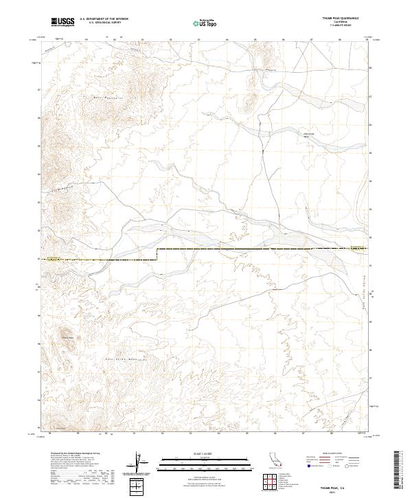
2021 Thumb Peak
Riverside County, CA
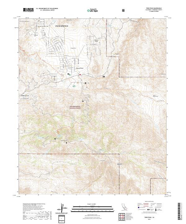
2021 Toro Peak
Riverside County, CA
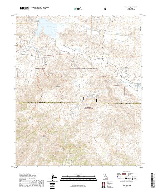
2021 Vail Lake
Riverside County, CA
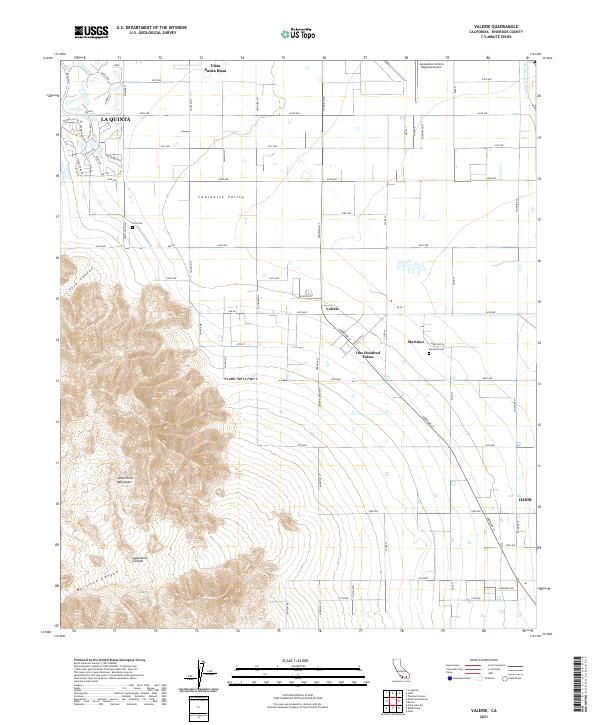
2021 Valerie
Riverside County, CA
2021 Victory Pass
Riverside County, CA
2021 Vidal
Riverside County, CA
2021 Washington Wash
Riverside County, CA
2021 West Berdoo Canyon
Riverside County, CA
2021 West of Palen Pass
Riverside County, CA
2021 White Water
Riverside County, CA
2021 Wiley Well
Riverside County, CA
2022 Corona North
Riverside County, CA
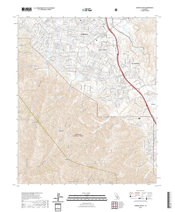
2022 Corona South
Riverside County, CA
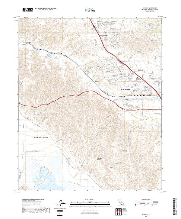
2022 El Casco
Riverside County, CA
2022 Pechanga
Riverside County, CA
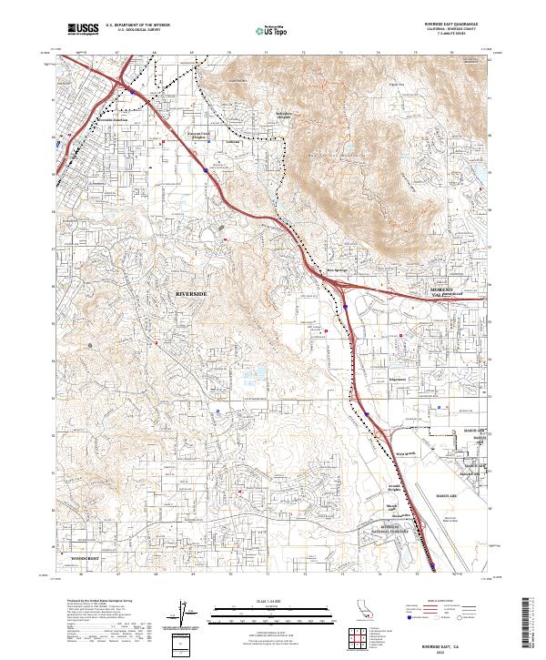
2022 Riverside East
Riverside County, CA
2022 Riverside West
Riverside County, CA

2022 Sitton Peak
Riverside County, CA
2023 Cahuilla Mountain
Riverside County, CA
2023 Keys View
Riverside County, CA
2023 Malapai Hill
Riverside County, CA
2023 Myoma
Riverside County, CA
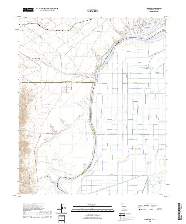
2023 Parker SW
Riverside County, CA
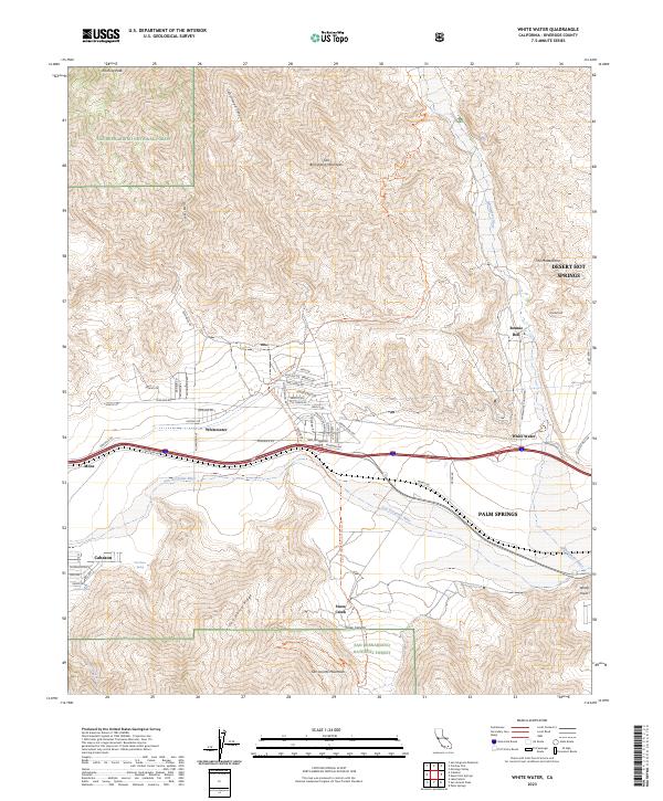
2023 White Water
Riverside County, CA