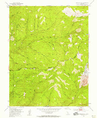
1951 Map of Peddler Hill
USGS Topo · Published 1956About this map
Eldorado National Forest defines this high-country landscape, where the ridges of the Sierra Nevada foothills meet the timber and water resources of the early 1950s. The map illustrates a transitional period for the Bear River drainage, specifically noting an area to be submerged following the completion of the Lower Bear River Reservoir. This hydrologic shift is mirrored by the active logging infrastructure of the era, including the Caldor Logging Road and various camps like Grellich Camp.
Find a feature on this map
41 named features on this map. Tap any name to fly to it.
Don’t see what you’re looking for? This feature index may not catch every label — zoom into the map to look around manually.
Map Details
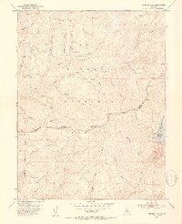
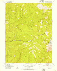
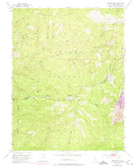
Editions of this 1951 Peddler Hill Map
5 editions found

Other maps of this area

1889 · Pyramid Peak
USGS Topo · 1:125,000

1891 · Big Trees
USGS Topo · 1:125,000

1891 · Pyramid Peak
USGS Topo · 1:125,000

1894 · Big Trees
USGS Topo · 1:125,000

1895 · Pyramid Peak
USGS Topo · 1:125,000

1896 · Pyramid Peak
USGS Topo · 1:125,000

1897 · Big Trees
USGS Topo · 1:125,000

1901 · Big Trees
USGS Topo · 1:125,000

1947 · Sacramento
USGS Topo · 1:250,000

1948 · Sacramento
USGS Topo · 1:250,000