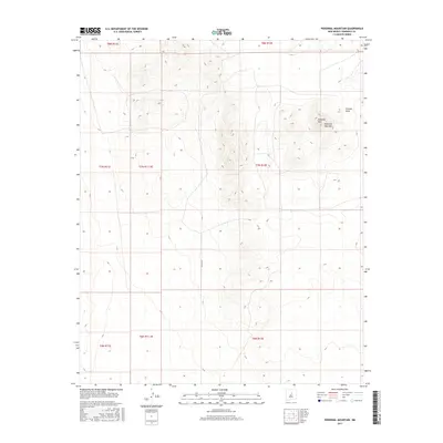
2017 Map of Pedernal Mountain
USGS Topo · Published 2017About this map
Pedernal Mountain rises prominently within the Pedernal Hills, marking a significant topographical landmark in the high desert of Torrance County. This modern survey illustrates a landscape primarily defined by its natural relief and drainage patterns, such as Pintada Draw in the northeast. Human presence is sparse, represented chiefly by the rural corridor of Co Rd C091 and the systematic organization of township and range boundaries, including t7n r12e and t7n r11.5e. The map provides a detailed view of the terrain's elevation changes at a 1:24,000 scale, capturing the area's transition between different public land survey sections.
Find a feature on this map
12 named features on this map. Tap any name to fly to it.
Don’t see what you’re looking for? This feature index may not catch every label — zoom into the map to look around manually.
Map Details
Editions of this 2017 Pedernal Mountain Map
This is the sole edition of this map. No revisions or reprints were ever made.
Other maps of this area

1954 · Fort Sumner
USGS Topo · 1:250,000

1958 · Fort Sumner
USGS Topo · 1:250,000

1960 · Lobo Hill
USGS Topo · 1:62,500
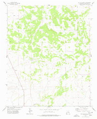
1978 · Waller Ranch
USGS Topo · 1:24,000

1978 · Pedernal Mountain
USGS Topo · 1:24,000

1978 · Pedernal
USGS Topo · 1:24,000

1978 · North Lucy
USGS Topo · 1:24,000
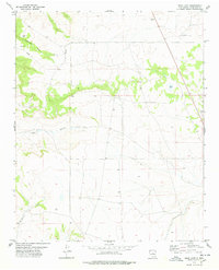
1978 · Rock Lake
USGS Topo · 1:24,000

1978 · Negra
USGS Topo · 1:24,000

1978 · Lucy
USGS Topo · 1:24,000