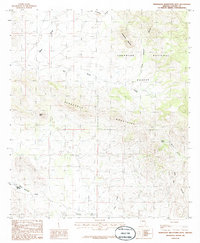
1986 Map of Pedregosa Mountains West
USGS Topo · Published 1986About this map
Poverty Flat lies in the lower elevations of the High Desert, serving as a focal point for the dispersed grazing and mining activity that characterizes this corner of Arizona. The landscape is defined by the steep rises of the Pedregosa Mountains, where prominent landmarks like Castle Dome and Packsaddle Mountain overlook the surrounding canyons. This 1980s field check documents a network of unimproved roads and trails connecting remote water sources and operational sites, including several Quarries at the base of the mountains.
Find a feature on this map
14 named features on this map. Tap any name to fly to it.
Don’t see what you’re looking for? This feature index may not catch every label — zoom into the map to look around manually.
Map Details
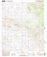
Editions of this 1986 Pedregosa Mountains West Map
2 editions found
Other maps of this area

1914 · Douglas
USGS Topo · 1:62,500

1916 · Pearce
USGS Topo · 1:125,000

1916 · Douglas
USGS Topo · 1:125,000

1917 · Chiricahua
USGS Topo · 1:125,000

1919 · Douglas
USGS Topo · 1:125,000

1919 · Perilla
USGS Topo · 1:125,000

1919 · Chiricahua
USGS Topo · 1:125,000

1922 · Swisshelm
USGS Topo · 1:62,500

1925 · Douglas
USGS Topo · 1:62,500

1926 · Pedregosa
USGS Topo · 1:62,500