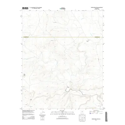
2013 Map of Pedro Miguel Peak
USGS Topo · Published 2013About this map
Pedro Miguel Peak stands as the primary landmark in this section of the New Mexico landscape, where the Pecos River and Gallinas River converge. The terrain is defined by deep cuts such as Deer Canyon and the winding course of Alamito Cr. Settlement in this arid region is sparse and primarily tied to ranching and water access, evidenced by the presence of Sowell Ranch and North Camp. Infrastructure is limited to a network of local routes including Co Road 4 and Road 1ca, which serve the remote outposts of the county. Notable for local history and genealogy, the map identifies functional water landmarks such as Tusero Windmill and Stage Stop Windmill, which are vital markers in a landscape straddling the line between San Miguel and Guadalupe counties.
Find a feature on this map
13 named features on this map. Tap any name to fly to it.
Don’t see what you’re looking for? This feature index may not catch every label — zoom into the map to look around manually.
Map Details
Editions of this 2013 Pedro Miguel Peak Map
This is the sole edition of this map. No revisions or reprints were ever made.
Other maps of this area

1890 · Bernal
USGS Topo · 1:125,000

1891 · Bernal
USGS Topo · 1:125,000

1892 · Corazon
USGS Topo · 1:125,000

1894 · Corazon
USGS Topo · 1:125,000

1894 · Bernal
USGS Topo · 1:125,000

1954 · Santa Fe
USGS Topo · 1:250,000

1958 · Santa Fe
USGS Topo · 1:250,000

1960 · Apache Springs
USGS Topo · 1:62,500

1963 · Colonias
USGS Topo · 1:24,000

1963 · Pedro Miguel Peak
USGS Topo · 1:24,000