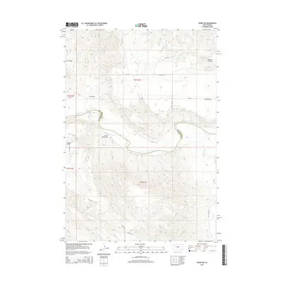
2015 Map of Pedro NW
USGS Topo · Published 2015About this map
The Cheyenne River winds through this West River landscape, serving as the primary natural boundary between Pennington and Meade counties. The terrain is characterized by a series of significant alluvial flats and named drainage draws that define the local ranching geography. High ground like Duhamel Flat and Davidson Flat dominate the central and southern portions of the map, while water sources such as Freiberg Spring and Davidson Spring provide vital points of interest in an otherwise arid expanse.
Find a feature on this map
26 named features on this map. Tap any name to fly to it.
Don’t see what you’re looking for? This feature index may not catch every label — zoom into the map to look around manually.
Map Details
Editions of this 2015 Pedro NW Map
This is the sole edition of this map. No revisions or reprints were ever made.
Other maps of this area

1953 · Rapid City
USGS Topo · 1:250,000

1954 · Dalzell SE
USGS Topo · 1:24,000

1954 · Dalzell NE
USGS Topo · 1:24,000

1955 · Pedro
USGS Topo · 1:24,000

1955 · Pedro NW
USGS Topo · 1:24,000

1955 · Creighton
USGS Topo · 1:24,000

1955 · Howes
USGS Topo · 1:24,000

1955 · Pedro SE
USGS Topo · 1:24,000

1957 · Rapid City
USGS Topo · 1:250,000

1983 · Plainview
USGS Topo · 1:24,000