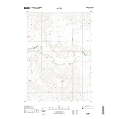
2017 Map of Pedro NW
USGS Topo · Published 2017About this map
The Cheyenne River winds through this West River landscape, defining the jagged border between Meade and Pennington Counties. This 2017 survey reveals a sparsely settled ranching region characterized by broad upland benches like Davidson Flat and Duhamel Flat. The presence of Saint Patrick's Cem and nearby Saint Patrick's Spring suggests the location of earlier community gathering points in an area now dominated by section-line roads and wide-open grazing land. Water remains the primary shaper of the terrain and human history here, with numerous seasonal drainages such as Plum Draw and Poison Weed Draw cutting toward the river valley. Local springs, including Freiberg Spring and Davidson Spring, are critical landmarks in this arid environment, while a network of rural routes like Creighton Rd and Cheyenne Crossing Rd provide the modern framework for the region's cattle-ranching economy.
Find a feature on this map
30 named features on this map. Tap any name to fly to it.
Don’t see what you’re looking for? This feature index may not catch every label — zoom into the map to look around manually.
Map Details
Editions of this 2017 Pedro NW Map
This is the sole edition of this map. No revisions or reprints were ever made.
Other maps of this area

1953 · Rapid City
USGS Topo · 1:250,000

1954 · Dalzell SE
USGS Topo · 1:24,000

1954 · Dalzell NE
USGS Topo · 1:24,000

1955 · Pedro
USGS Topo · 1:24,000

1955 · Pedro NW
USGS Topo · 1:24,000

1955 · Creighton
USGS Topo · 1:24,000

1955 · Howes
USGS Topo · 1:24,000

1955 · Pedro SE
USGS Topo · 1:24,000

1957 · Rapid City
USGS Topo · 1:250,000

1983 · Plainview
USGS Topo · 1:24,000