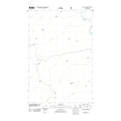
2011 Map of Peggy Peak
USGS Topo · Published 2011About this map
The Saint Joe River cuts through the northeast corner of this high-elevation Idaho landscape, where the Fly Flat Campground serves as a small point of human activity amidst a dense network of mountain summits. The terrain is defined by a series of named peaks that served as critical points for early fire lookout surveys, including Peggy Peak, Mosquito Peak, and Granite Peak. A labyrinth of drainages, such as Beaver Creek and Bad Bear Creek, feeds into the larger river systems, illustrating the complex hydrology of the Bitterroot mountains. Access through this region is provided by forest routes like the Avery-Timber Creek Rd and Nat For Dev Rd 303, which connect isolated features like Twin Lakes to the valley floors. The naming conventions, from Club Foot Ridge to Papoose Creek, reflect the region's long history of backcountry exploration and resource management.
Find a feature on this map
34 named features on this map. Tap any name to fly to it.
Don’t see what you’re looking for? This feature index may not catch every label — zoom into the map to look around manually.
Map Details
Editions of this 2011 Peggy Peak Map
This is the sole edition of this map. No revisions or reprints were ever made.
Other maps of this area

1911 · Lolo
USGS Topo · 1:250,000

1913 · Lolo
USGS Topo · 1:250,000

1914 · Avery
USGS Topo · 1:125,000

1917 · Avery
USGS Topo · 1:125,000

1918 · St Regis
USGS Topo · 1:125,000

1919 · St. Regis
USGS Topo · 1:125,000

1923 · Washington Creek
USGS Topo · 1:125,000

1956 · Wallace
USGS Topo · 1:250,000

1956 · Hamilton
USGS Topo · 1:250,000

1957 · Simmons Peak
USGS Topo · 1:62,500