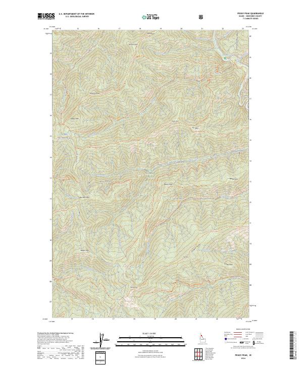
2024 Map of Peggy Peak
USGS Topo · Published 2024About this map
The Saint Joe River flows through the northeastern corner of this high-elevation terrain, marking the boundary of the Saint Joe Wild and Scenic River corridor. This portion of the St Joe National Forest is defined by a dense network of forest development roads and primitive trails that connect prominent summits like Peggy Peak and Badger Mtn. The landscape is a complex system of ridges and drainages, including Copper Ridge and the deep valleys carved by Beaver Creek and Canyon Creek.
Find a feature on this map
54 named features on this map. Tap any name to fly to it.
Don’t see what you’re looking for? This feature index may not catch every label — zoom into the map to look around manually.
Map Details
Editions of this 2024 Peggy Peak Map
This is the sole edition of this map. No revisions or reprints were ever made.
Other maps of this area

1911 · Lolo
USGS Topo · 1:250,000

1913 · Lolo
USGS Topo · 1:250,000

1914 · Avery
USGS Topo · 1:125,000

1917 · Avery
USGS Topo · 1:125,000

1918 · St Regis
USGS Topo · 1:125,000

1919 · St. Regis
USGS Topo · 1:125,000

1923 · Washington Creek
USGS Topo · 1:125,000

1956 · Wallace
USGS Topo · 1:250,000

1956 · Hamilton
USGS Topo · 1:250,000

1957 · Simmons Peak
USGS Topo · 1:62,500