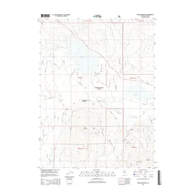
2015 Map of Pegleg Mountain
USGS Topo · Published 2015About this map
The Susan River winds through this high-elevation landscape within the Lassen National Forest, where water management and timber history intersect. The terrain is defined by volcanic features like Pegleg Mountain and Bald Hill, while large basins are occupied by the McCoy Flat Reservoir and Hog Flat Reservoir. These water bodies and the surrounding flats, such as Norvell Flat, suggest a landscape utilized for seasonal grazing and watershed control.
Find a feature on this map
33 named features on this map. Tap any name to fly to it.
Don’t see what you’re looking for? This feature index may not catch every label — zoom into the map to look around manually.
Map Details
Editions of this 2015 Pegleg Mountain Map
This is the sole edition of this map. No revisions or reprints were ever made.
Other maps of this area

1886 · Honey Lake
USGS Topo · 1:250,000

1886 · Lassen Peak
USGS Topo · 1:250,000

1891 · Honey Lake
USGS Topo · 1:250,000

1892 · Lassen Peak
USGS Topo · 1:250,000

1893 · Honey Lake
USGS Topo · 1:250,000

1894 · Lassen Peak
USGS Topo · 1:250,000

1939 · Halls Flat
USGS Topo · 1:125,000

1955 · Westwood
USGS Topo · 1:62,500

1955 · Westwood
USGS Topo · 1:250,000

1956 · Chester
USGS Topo · 1:62,500