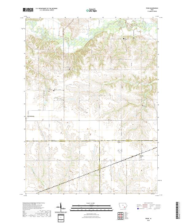
2022 Map of Pekin
USGS Topo · Published 2022About this map
The South Skunk River meanders across the northern reaches of this landscape, marking a terrain defined by the transition between three Iowa counties. This modern topographic study reveals the rural character of southeastern Iowa, where the borders of Keokuk, Wapello, and Jefferson counties converge. The small community of Pekin sits near this junction, serves as a focal point alongside the settlements of Martinsburg and Linby.
Find a feature on this map
61 named features on this map. Tap any name to fly to it.
Don’t see what you’re looking for? This feature index may not catch every label — zoom into the map to look around manually.
Map Details
Editions of this 2022 Pekin Map
This is the sole edition of this map. No revisions or reprints were ever made.
Other maps of this area

1954 · Des Moines
USGS Topo · 1:250,000

1956 · Des Moines
USGS Topo · 1:250,000

1956 · Farson
USGS Topo · 1:24,000

1956 · Ottumwa North
USGS Topo · 1:62,500

1957 · Des Moines
USGS Topo · 1:250,000

1965 · Harper
USGS Topo · 1:24,000

1965 · Sigourney
USGS Topo · 1:24,000

1965 · Delta
USGS Topo · 1:24,000

1969 · Des Moines
USGS Topo · 1:250,000
1980 · Ollie
USGS Topo · 1:24,000