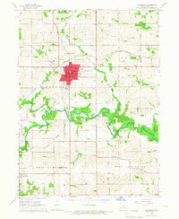
1980 Map of Pekin
USGS Topo · Published 1981About this map
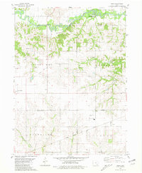
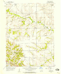
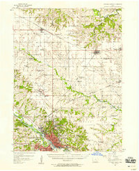
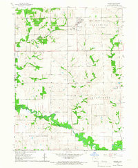
The South Skunk River meanders across the northern reaches of this rural landscape, carving a wide valley protected in part by the South Skunk River State Wildlife Area. This agricultural corridor is defined by the intersection of four counties, where the small settlements of Pekin and Linby sit near the junction of Keokuk, Jefferson, and Wapello. Transportation history is visible in the landscape, contrasting the active Chicago Milwaukee St Paul and Pacific line with an Old Railroad Grade that cuts through the township of Jackson. Local heritage is anchored by landmarks such as Mt Zion Ch, the Pekin Community Sch, and the Van Orsdall Cem. Further west, the town of Martinsburg marks the transition into Steady Run township, while Quarries near Rock Creek point to the area's local resource extraction.
Find a feature on this map
27 named features on this map. Tap any name to fly to it.
Don’t see what you’re looking for? This feature index may not catch every label — zoom into the map to look around manually.
Map Details
Editions of this 1980 Pekin Map
This is the sole edition of this map. No revisions or reprints were ever made.
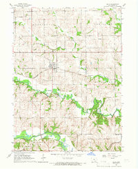
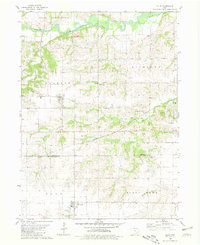
Other maps of this area

1954 · Des Moines
USGS Topo · 1:250,000

1956 · Des Moines
USGS Topo · 1:250,000
1956 · Farson
USGS Topo · 1:24,000
1956 · Ottumwa North
USGS Topo · 1:62,500

1957 · Des Moines
USGS Topo · 1:250,000
1965 · Harper
USGS Topo · 1:24,000
1965 · Sigourney
USGS Topo · 1:24,000
1965 · Delta
USGS Topo · 1:24,000

1969 · Des Moines
USGS Topo · 1:250,000
1980 · Ollie
USGS Topo · 1:24,000