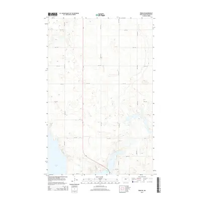
2014 Map of Pekin NE
USGS Topo · Published 2014About this map
Stump Lake dominates the southwestern and eastern reaches of this Nelson County landscape, its irregular shoreline and surrounding basins defining the local topography. This 2014 survey captures a rural North Dakota environment characterized by a rigid section-line road grid, where routes like 104th Ave NE and 38th St NE partition the prairie. The presence of Silver Cr in the southeast suggests the intricate drainage patterns that feed into the larger lake system during periods of high water. Apart from primary corridors like Nd-1 and Co Road 15, the area is marked by a network of local township roads, illustrating the systematic agricultural organization typical of the region. The map provides a precise record of the water levels and terrain at a time when North Dakota's interior lakes often experienced significant seasonal and decadal shifts.
Find a feature on this map
17 named features on this map. Tap any name to fly to it.
Don’t see what you’re looking for? This feature index may not catch every label — zoom into the map to look around manually.
Map Details
Editions of this 2014 Pekin NE Map
This is the sole edition of this map. No revisions or reprints were ever made.
Other maps of this area

1930 · Pekin
USGS Topo · 1:62,500

1942 · McVille
USGS Topo · 1:62,500

1951 · Pekin NE
USGS Topo · 1:24,000

1951 · Pekin NW
USGS Topo · 1:24,000

1951 · Tolna
USGS Topo · 1:24,000

1951 · Pekin
USGS Topo · 1:24,000

1951 · Pekin
USGS Topo · 1:62,500

1952 · New Rockford
USGS Topo · 1:250,000

1953 · Devils Lake
USGS Topo · 1:250,000

1956 · New Rockford
USGS Topo · 1:250,000