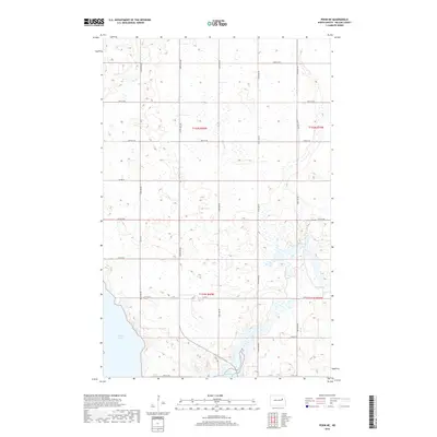
2018 Map of Pekin NE
USGS Topo · Published 2018About this map
Stump Lake dominates the southwestern corner of this Nelson County landscape, its irregular shoreline reflecting the glacial topography characteristic of this part of North Dakota. The area is defined by a grid of rural section roads, including 32nd St Ne and 40th St Ne, which delineate the expansive agricultural tracts typical of the late 2010s. The drainage of Silver Cr cuts through the southeastern quadrant, while State Hwy 1 provides the primary north-south artery for local transit and commerce. This survey documents the intersection of public land survey boundaries, including t152n r60w and t151n r59w, showing how property lines and transport corridors like Co Rd 4 have been etched into the prairie over decades of settlement.
Find a feature on this map
17 named features on this map. Tap any name to fly to it.
Don’t see what you’re looking for? This feature index may not catch every label — zoom into the map to look around manually.
Map Details
Editions of this 2018 Pekin NE Map
This is the sole edition of this map. No revisions or reprints were ever made.
Other maps of this area

1930 · Pekin
USGS Topo · 1:62,500

1942 · McVille
USGS Topo · 1:62,500

1951 · Pekin NE
USGS Topo · 1:24,000

1951 · Pekin NW
USGS Topo · 1:24,000

1951 · Tolna
USGS Topo · 1:24,000

1951 · Pekin
USGS Topo · 1:24,000

1951 · Pekin
USGS Topo · 1:62,500

1952 · New Rockford
USGS Topo · 1:250,000

1953 · Devils Lake
USGS Topo · 1:250,000

1956 · New Rockford
USGS Topo · 1:250,000