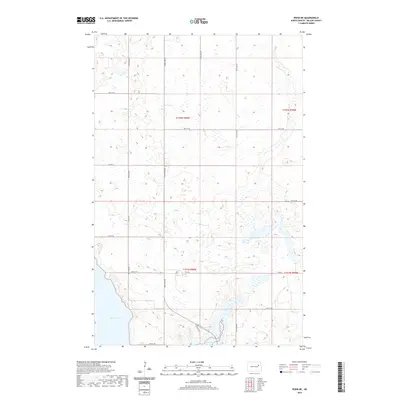
2020 Map of Pekin NE
USGS Topo · Published 2020About this map
Stump Lake dominates the southwestern corner of this Nelson County landscape, showcasing the irregular, marshy shoreline characteristic of this glacial region. The terrain is defined by a dense network of seasonal wetlands and small basins, interspersed with the rigid geometry of the Public Land Survey System. Movement through this prairie environment is dictated by a grid of local routes like 34th St NE and 38th St NE, which segment the land into sections within t152n r60w and neighboring townships. In the southeastern quadrant, Silver Cr winds through the depressions, eventually draining toward the larger lake body. Primary transit is provided by State Hwy 1, which skirts the eastern edge of the lake, connecting this rural agricultural area to the broader region during the early twenty-first century.
Find a feature on this map
16 named features on this map. Tap any name to fly to it.
Don’t see what you’re looking for? This feature index may not catch every label — zoom into the map to look around manually.
Map Details
Editions of this 2020 Pekin NE Map
This is the sole edition of this map. No revisions or reprints were ever made.
Other maps of this area

1930 · Pekin
USGS Topo · 1:62,500

1942 · McVille
USGS Topo · 1:62,500

1951 · Pekin NE
USGS Topo · 1:24,000

1951 · Pekin NW
USGS Topo · 1:24,000

1951 · Tolna
USGS Topo · 1:24,000

1951 · Pekin
USGS Topo · 1:24,000

1951 · Pekin
USGS Topo · 1:62,500

1952 · New Rockford
USGS Topo · 1:250,000

1953 · Devils Lake
USGS Topo · 1:250,000

1956 · New Rockford
USGS Topo · 1:250,000