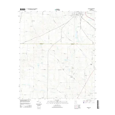
2014 Map of Pelham
USGS Topo · Published 2014About this map
The town of Pelham serves as the focal point for this Southwest Georgia landscape, situated where the terrain begins its gradual descent across the Mitchell Co Grady Co line. The area is defined by a complex network of waterways and depressions, including the curious Rich Sink and several sizable bodies of water such as Walton Lake and Chickasaw Lake. Settlement patterns are concentrated around the primary corridors of Ga-93 and Old Thomasville Rd, connecting the main township to smaller rural communities like Spence and Union Hill. Genealogists will find notable value in the location of rural burial grounds, including Macedonia Cem and Saint James Cem, which are tucked away along local routes like Meadow Church Rd. The hydraulic character of the region is further evidenced by Spence Millpond and the various branches of Barnetts Cr, illustrating the drainage patterns essential to the local agriculture.
Find a feature on this map
86 named features on this map. Tap any name to fly to it.
Don’t see what you’re looking for? This feature index may not catch every label — zoom into the map to look around manually.
Map Details
Editions of this 2014 Pelham Map
This is the sole edition of this map. No revisions or reprints were ever made.
Other maps of this area

1953 · Dothan
USGS Topo · 1:250,000

1954 · Dothan
USGS Topo · 1:250,000

1954 · Tallahassee
USGS Topo · 1:250,000

1955 · Dothan
USGS Topo · 1:250,000

1955 · Whigham
USGS Topo · 1:62,500

1956 · Cairo
USGS Topo · 1:62,500

1959 · Tallahassee
USGS Topo · 1:250,000

1960 · Tallahassee
USGS Topo · 1:250,000

1971 · Meigs
USGS Topo · 1:24,000

1971 · Gee Pond
USGS Topo · 1:24,000