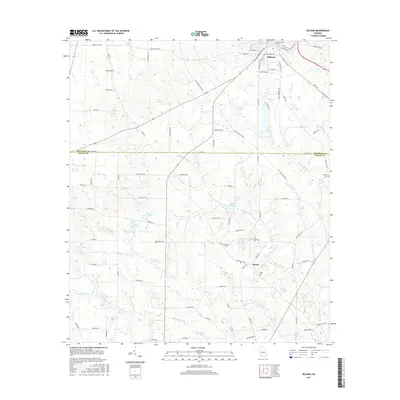
2017 Map of Pelham
USGS Topo · Published 2017About this map
Pelham anchors the northern portion of this South Georgia landscape, where the grid of the town gives way to a complex network of agricultural roads and water features. The topography is defined by unusual depressions and water management, notably the Rich Sink in the northwest and several large impoundments such as Chickasaw Lake and the None None Reservoir. This area marks a clear transition into the rural community of Spence, located further south along the Spence Rd corridor.
Find a feature on this map
86 named features on this map. Tap any name to fly to it.
Don’t see what you’re looking for? This feature index may not catch every label — zoom into the map to look around manually.
Map Details
Editions of this 2017 Pelham Map
This is the sole edition of this map. No revisions or reprints were ever made.
Other maps of this area

1953 · Dothan
USGS Topo · 1:250,000

1954 · Dothan
USGS Topo · 1:250,000

1954 · Tallahassee
USGS Topo · 1:250,000

1955 · Dothan
USGS Topo · 1:250,000

1955 · Whigham
USGS Topo · 1:62,500

1956 · Cairo
USGS Topo · 1:62,500

1959 · Tallahassee
USGS Topo · 1:250,000

1960 · Tallahassee
USGS Topo · 1:250,000

1971 · Meigs
USGS Topo · 1:24,000

1971 · Gee Pond
USGS Topo · 1:24,000