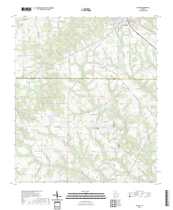
2024 Map of Pelham
USGS Topo · Published 2024About this map
Pelham stands as the primary hub of this landscape at the intersection of the Dixie Hwy and the railroad lines, serving as a gateway between Mitchell and Grady counties. The terrain is defined by a complex network of waterways, including the East Branch Barnetts Creek and Spence Mill Creek, which feed into local landmarks like the Spence Millpond. Notable for genealogists, the rural areas surrounding the town preserve established community centers such as Macedonia and the small settlement of Spence.
Find a feature on this map
78 named features on this map. Tap any name to fly to it.
Don’t see what you’re looking for? This feature index may not catch every label — zoom into the map to look around manually.
Map Details
Editions of this 2024 Pelham Map
This is the sole edition of this map. No revisions or reprints were ever made.
Other maps of this area

1953 · Dothan
USGS Topo · 1:250,000

1954 · Dothan
USGS Topo · 1:250,000

1954 · Tallahassee
USGS Topo · 1:250,000

1955 · Dothan
USGS Topo · 1:250,000

1955 · Whigham
USGS Topo · 1:62,500

1956 · Cairo
USGS Topo · 1:62,500

1959 · Tallahassee
USGS Topo · 1:250,000

1960 · Tallahassee
USGS Topo · 1:250,000

1971 · Meigs
USGS Topo · 1:24,000

1971 · Gee Pond
USGS Topo · 1:24,000