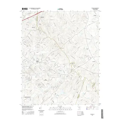
2017 Map of Pelham
USGS Topo · Published 2017About this map
Greer and Simpsonville flank a landscape of expanding residential networks and historical crossroads in this Greenville County region. The Enoree River winds through the northern quadrant, defining much of the geography alongside tributaries like Brushy Cr and Rocky Cr. Settlement patterns are anchored by established locales such as Pelham, Batesville, and the rapidly developing Five Forks area.
Find a feature on this map
64 named features on this map. Tap any name to fly to it.
Don’t see what you’re looking for? This feature index may not catch every label — zoom into the map to look around manually.
Map Details
Editions of this 2017 Pelham Map
This is the sole edition of this map. No revisions or reprints were ever made.
Other maps of this area

1935 · Greer
USGS Topo · 1:48,000

1935 · Greenville
USGS Topo · 1:48,000

1938 · Greenville
USGS Topo · 1:62,500

1938 · Greer
USGS Topo · 1:62,500

1954 · Greenville
USGS Topo · 1:250,000

1957 · Fountain Inn
USGS Topo · 1:62,500

1957 · Williamston
USGS Topo · 1:62,500

1957 · Greer
USGS Topo · 1:62,500

1957 · Greenville
USGS Topo · 1:62,500

1958 · Greenville
USGS Topo · 1:250,000