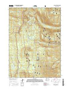
2017 Map of Pelican Butte
USGS Topo · Published 2017About this map
The Pacific Crest National Scenic Trail winds through the high-elevation divide between the Rogue River National Forest and the Winema National Forest. This 2017 survey shows a landscape dominated by glacial lakes and volcanic peaks, including the prominent Pelican Butte and Luther Mtn. The Sky Lakes Wilderness area is particularly well-documented, featuring a dense network of water bodies such as Lake Elizabeth, the Heavenly Twin Lakes, and the cluster known as the Snow Lakes. Navigation through this backcountry is facilitated by the Sky Lakes Cutoff and several Forest Service routes like Nat For Dev Rd 3659. The map also captures modern recreational use via the Diamond Lake Snomo and Cold Springs Snomo trails, reflecting the area's significance for both summer hiking and winter sports.
Find a feature on this map
84 named features on this map. Tap any name to fly to it.
Don’t see what you’re looking for? This feature index may not catch every label — zoom into the map to look around manually.
Map Details
Editions of this 2017 Pelican Butte Map
This is the sole edition of this map. No revisions or reprints were ever made.
Other maps of this area

1891 · Ashland
USGS Topo · 1:250,000

1893 · Ashland
USGS Topo · 1:250,000

1897 · Ashland
USGS Topo · 1:250,000

1955 · Lake O' Woods
USGS Topo · 1:62,500

1955 · Rustler Peak
USGS Topo · 1:62,500

1955 · Mt. Mc Loughlin
USGS Topo · 1:62,500

1955 · Pelican Butte
USGS Topo · 1:62,500

1955 · Medford
USGS Topo · 1:250,000

1957 · Medford
USGS Topo · 1:250,000

1958 · Medford
USGS Topo · 1:250,000