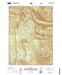
2020 Map of Pelican Butte
USGS Topo · Published 2020About this map
Pacific Crest National Scenic Trail winds through a high-altitude landscape of volcanic peaks and alpine lakes within the Rogue River National Forest and Winema National Forest. This 2020 survey reveals an intricate network of water bodies, including the Heavenly Twin Lakes, Lake Notasha, and White Pine Lake, clustered around prominent heights like Luther Mtn and Imagination Peak. The topography is defined by significant landmarks such as Pelican Butte and the glacial basins containing the Snow Lakes. The presence of the Sky Lakes Cutoff and several named lake groups highlights the area's importance for wilderness navigation and recreation. These features, along with names like Lake No-Se-Um and Punky Lake, reflect the local naming traditions within this high-cascade environment.
Find a feature on this map
83 named features on this map. Tap any name to fly to it.
Don’t see what you’re looking for? This feature index may not catch every label — zoom into the map to look around manually.
Map Details
Editions of this 2020 Pelican Butte Map
This is the sole edition of this map. No revisions or reprints were ever made.
Other maps of this area

1891 · Ashland
USGS Topo · 1:250,000

1893 · Ashland
USGS Topo · 1:250,000

1897 · Ashland
USGS Topo · 1:250,000

1955 · Lake O' Woods
USGS Topo · 1:62,500

1955 · Rustler Peak
USGS Topo · 1:62,500

1955 · Mt. Mc Loughlin
USGS Topo · 1:62,500

1955 · Pelican Butte
USGS Topo · 1:62,500

1955 · Medford
USGS Topo · 1:250,000

1957 · Medford
USGS Topo · 1:250,000

1958 · Medford
USGS Topo · 1:250,000