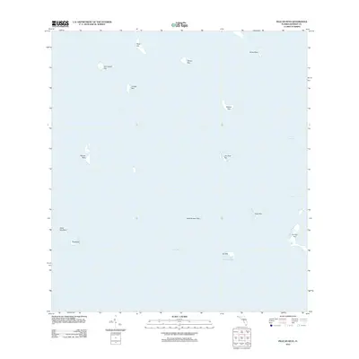
2012 Map of Pelican Keys
USGS Topo · Published 2012About this map
Florida Bay dominates this marine survey, revealing a landscape of isolated islands and shallow tidal basins within Monroe County. The map documents the subtle geography of the Florida Keys, where small, named landforms like Pelican Keys and Cluett Key are separated by the Whipray Channel and the expansive Whipray Basin. These features represent the fragile terrestrial points in a largely submerged environment, serving as vital markers for navigation and ecological study.
Find a feature on this map
17 named features on this map. Tap any name to fly to it.
Don’t see what you’re looking for? This feature index may not catch every label — zoom into the map to look around manually.
Map Details
Editions of this 2012 Pelican Keys Map
This is the sole edition of this map. No revisions or reprints were ever made.
Other maps of this area

1956 · Miami
USGS Topo · 1:250,000

1958 · Miami
USGS Topo · 1:250,000

1971 · Upper Matecumbe Key
USGS Topo · 1:24,000

1972 · Schooner Bank
USGS Topo · 1:24,000

1972 · Madeira Bay
USGS Topo · 1:24,000

1972 · Pelican Keys
USGS Topo · 1:24,000

1972 · West Lake
USGS Topo · 1:24,000

1972 · Buchanan Keys
USGS Topo · 1:24,000

1972 · Calusa Keys
USGS Topo · 1:24,000

1972 · Clive Key
USGS Topo · 1:24,000