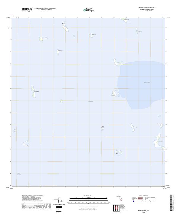
2024 Map of Pelican Keys
USGS Topo · Published 2024About this map
Florida Bay defines this maritime landscape, where a sprawling network of mangrove keys and shallow basins characterizes the interior of Monroe County. The map provides a look at the intricate hydrography of the region, specifically centered on the Pelican Keys and the surrounding expanse of the Whipray Basin. These small island clusters, including family-named and descriptively named landmarks like Jim Foot Key and Dead Terrapin Key, illustrate the fragmented coastline and tidal environment.
Find a feature on this map
21 named features on this map. Tap any name to fly to it.
Don’t see what you’re looking for? This feature index may not catch every label — zoom into the map to look around manually.
Map Details
Editions of this 2024 Pelican Keys Map
This is the sole edition of this map. No revisions or reprints were ever made.
Other maps of this area

1956 · Miami
USGS Topo · 1:250,000

1958 · Miami
USGS Topo · 1:250,000

1971 · Upper Matecumbe Key
USGS Topo · 1:24,000

1972 · Schooner Bank
USGS Topo · 1:24,000

1972 · Madeira Bay
USGS Topo · 1:24,000

1972 · Pelican Keys
USGS Topo · 1:24,000

1972 · West Lake
USGS Topo · 1:24,000

1972 · Buchanan Keys
USGS Topo · 1:24,000

1972 · Calusa Keys
USGS Topo · 1:24,000

1972 · Clive Key
USGS Topo · 1:24,000