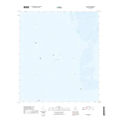
2018 Map of Pelican Pass
USGS Topo · Published 2018About this map
The coastal marshlands of Lafourche Parish meet the open Gulf of Mexico in this detailed 2018 survey. The landscape is defined by an intricate network of waterways and shifting coastal features, including the Southwestern Louisiana Canal and the broad waters of Lake Raccourci. Small landmasses like the Philo Brice Islands, Northwest Island, and the curiously named Casse-tete Island are interspersed among numerous bays and inlets such as Jacko Camp Bay and Rosa Bay. This modern data illustrates the precarious nature of the Louisiana shoreline, where established maritime routes like Pelican Pass and Wrong Name Pass navigate through a terrain that is more water than land. Researchers of coastal geography or maritime history will find a clear record of the area's current state, from the northern reach of Little Lake down to the southern expanse of Timbalier Bay.
Find a feature on this map
26 named features on this map. Tap any name to fly to it.
Don’t see what you’re looking for? This feature index may not catch every label — zoom into the map to look around manually.
Map Details
Editions of this 2018 Pelican Pass Map
This is the sole edition of this map. No revisions or reprints were ever made.
Other maps of this area

1892 · Cheniere Caminada
USGS Topo · 1:62,500

1892 · Creole
USGS Topo · 1:62,500

1894 · Timbalier
USGS Topo · 1:62,500

1894 · Lake Felicity
USGS Topo · 1:62,500

1935 · Timbalier Island
USGS Topo · 1:31,680

1935 · Bay Courant
USGS Topo · 1:31,680

1935 · Pelican Pass
USGS Topo · 1:31,680

1935 · Mink Bayou
USGS Topo · 1:31,680

1935 · Calumet Island
USGS Topo · 1:31,680

1935 · Leeville
USGS Topo · 1:31,680