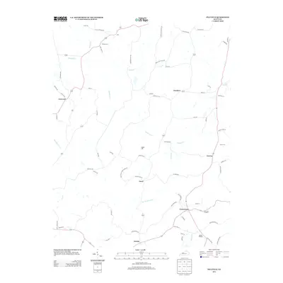
2013 Map of Pellville
USGS Topo · Published 2013About this map
Pellville and Weberstown anchor the southern reach of this Hancock County landscape, where the rural road network traces the meandering paths of Blackford Cr and Caney Cr. This modern survey documents several small residential nodes and family burial sites, including the Chambers Cem and Lamar Cem, which offer significant value for genealogical research in this part of Kentucky. The terrain is defined by low-lying drainages like Flat Br Horse Fork and prominent rises such as Indian Hill. Small settlements like Floral and Utility are connected by a web of local routes like Lambert Schoolhouse Rd and Scifres Ridge Rd, reflecting a landscape still shaped by its historic agrarian foundations.
Find a feature on this map
70 named features on this map. Tap any name to fly to it.
Don’t see what you’re looking for? This feature index may not catch every label — zoom into the map to look around manually.
Map Details
Editions of this 2013 Pellville Map
This is the sole edition of this map. No revisions or reprints were ever made.
Other maps of this area

1903 · Tell City
USGS Topo · 1:62,500

1907 · Whitesville
USGS Topo · 1:62,500

1909 · Whitesville
USGS Topo · 1:62,500

1932 · Fordsville
USGS Topo · 1:62,500

1934 · Cannelton
USGS Topo · 1:62,500

1949 · Cannelton
USGS Topo · 1:24,000

1953 · Cannelton
USGS Topo · 1:24,000

1953 · Philpot
USGS Topo · 1:24,000

1953 · Lewisport
USGS Topo · 1:24,000

1953 · Cloverport
USGS Topo · 1:24,000