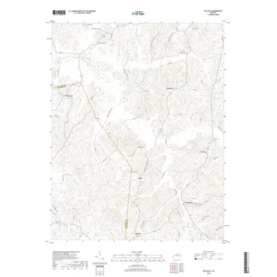
2019 Map of Pellville
USGS Topo · Published 2019About this map
Pellville and the winding boundaries of Hancock and Daviess counties anchor this topographical study of north-central Kentucky. The landscape is defined by a dense network of ridges and hollows, most notably Bates Hollow in the southeast, where local life follows the contours of the land. Small clusters of settlement such as Weberstown, Floral, and Gatewood are connected by a web of narrow rural routes including Lewis Port Utility Rd and Hawesville-Pellville Rd.
Find a feature on this map
54 named features on this map. Tap any name to fly to it.
Don’t see what you’re looking for? This feature index may not catch every label — zoom into the map to look around manually.
Map Details
Editions of this 2019 Pellville Map
This is the sole edition of this map. No revisions or reprints were ever made.
Other maps of this area

1903 · Tell City
USGS Topo · 1:62,500

1907 · Whitesville
USGS Topo · 1:62,500

1909 · Whitesville
USGS Topo · 1:62,500

1932 · Fordsville
USGS Topo · 1:62,500

1934 · Cannelton
USGS Topo · 1:62,500

1949 · Cannelton
USGS Topo · 1:24,000

1953 · Cannelton
USGS Topo · 1:24,000

1953 · Philpot
USGS Topo · 1:24,000

1953 · Lewisport
USGS Topo · 1:24,000

1953 · Cloverport
USGS Topo · 1:24,000