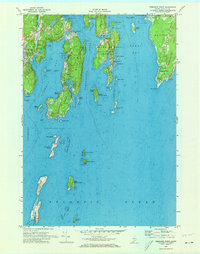
1969 Map of Pemaquid Point
USGS Topo · Published 1973About this map
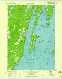
Pemaquid Neck and the rugged fingers of the Maine coast define this maritime landscape as it appeared in the late 1960s. The survey illustrates a coastline deeply indented by Linekin Bay, the Damariscotta River, and Johns Bay, creating a complex network of peninsulas and sheltered harbors. At the eastern tip, the Pemaquid Lighthouse stands watch over the Atlantic Ocean, while inland, small coastal settlements like New Harbor and South Bristol are shown in detail. To the south, isolated outposts like Damariscove Harbor and the aptly named The Hypocrites ledger show the navigational hazards of these waters. Local history is preserved in the locations of Oaklawn Cem and Farnham Cem, alongside seasonal landmarks like Christmas Cove and Ocean Point.
Find a feature on this map
90 named features on this map. Tap any name to fly to it.
Don’t see what you’re looking for? This feature index may not catch every label — zoom into the map to look around manually.
Map Details
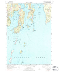
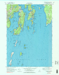
Editions of this 1969 Pemaquid Point Map
3 editions found
Other maps of this area

1893 · Boothbay
USGS Topo · 1:62,500

1904 · Monhegan
USGS Topo · 1:62,500

1906 · Monhegan
USGS Topo · 1:62,500

1941 · Boothbay
USGS Topo · 1:62,500

1943 · Boothbay
USGS Topo · 1:62,500

1944 · Boothbay
USGS Topo · 1:62,500

1948 · Bath
USGS Topo · 1:250,000
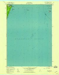
1955 · New Harbor
USGS Topo · 1:24,000
1955 · Louds Island
USGS Topo · 1:24,000

1956 · Bath
USGS Topo · 1:250,000