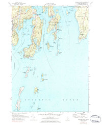
1969 Map of Pemaquid Point
USGS Topo · Published 1984About this map
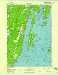
The rocky mid-coast of Maine, where the Damariscotta River meets the Atlantic Ocean, is defined here by deep-water harbors and narrow peninsulas. Centered on South Bristol and Linekin, the area shows a 1960s landscape of maritime settlements and seasonal coastal communities. The distinctive The Gut separates the mainland from Rutherford Island, leading toward the storied Christmas Cove. On the eastern edge, the Pemaquid Point peninsula features the iconic Pemaquid Lighthouse, overlooking a complex system of ledges and islands including The Bulldog and Thrumcap Island. Further offshore, the remote Damiscove Island sits at the mouth of its namesake harbor, once a critical early fishing outpost. Inland, family history is preserved at Oaklawn Cem and Farnham Cem, while the local economy is represented by several Gravel Pits and the residential clusters at East Boothbay and Bayville.
Find a feature on this map
92 named features on this map. Tap any name to fly to it.
Don’t see what you’re looking for? This feature index may not catch every label — zoom into the map to look around manually.
Map Details
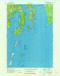
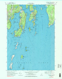
Editions of this 1969 Pemaquid Point Map
3 editions found
Other maps of this area

1893 · Boothbay
USGS Topo · 1:62,500

1904 · Monhegan
USGS Topo · 1:62,500

1906 · Monhegan
USGS Topo · 1:62,500

1941 · Boothbay
USGS Topo · 1:62,500

1943 · Boothbay
USGS Topo · 1:62,500

1944 · Boothbay
USGS Topo · 1:62,500

1948 · Bath
USGS Topo · 1:250,000
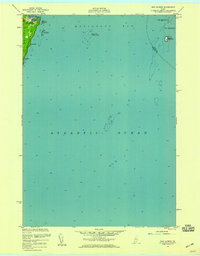
1955 · New Harbor
USGS Topo · 1:24,000
1955 · Louds Island
USGS Topo · 1:24,000

1956 · Bath
USGS Topo · 1:250,000