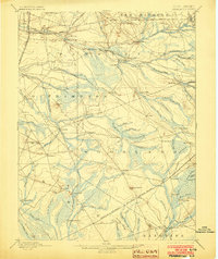
1898 Map of Pemberton
USGS Topo · Published 1903About this map
Industrial outposts and early Pine Barrens settlements define this landscape during the late nineteenth century. The presence of Hanover Furnace, Mary Ann Furnace, and Hampton Furnace alongside the Lebanon Glassworks highlights the region's historical dependence on bog iron and glass manufacturing. These industrial sites are linked by a complex network of early railroads, including the Central R. R. of New Jersey and the Pennsylvania R. R. Amboy Division.
Find a feature on this map
103 named features on this map. Tap any name to fly to it.
Don’t see what you’re looking for? This feature index may not catch every label — zoom into the map to look around manually.
Map Details
Editions of this 1898 Pemberton Map
4 editions found

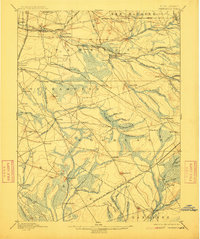
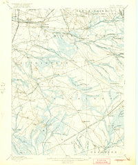
Other maps of this area

1884 · Whitings
USGS Topo · 1:62,500

1888 · Bordentown
USGS Topo · 1:62,500

1888 · Pemberton
USGS Topo · 1:62,500

1888 · Little Egg Harbor
USGS Topo · 1:62,500

1888 · Mount Holly
USGS Topo · 1:62,500

1888 · Cassville
USGS Topo · 1:62,500

1888 · Whitings
USGS Topo · 1:62,500

1890 · Hammonton
USGS Topo · 1:62,500

1890 · Burlington
USGS Topo · 1:62,500

1890 · Mullica
USGS Topo · 1:62,500
Featured Places
- Southampton Township, NJ
- Plumsted Township, NJ
- Tabernacle Township, NJ
- Eastampton Township, NJ
- Springfield Township, NJ