
1898 Map of Pemberton
USGS Topo · Published 1898About this map
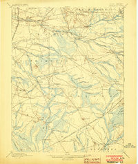
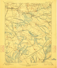
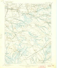
Hampton Furnace and Mary Ann Furnace anchor the industrial geography of the New Jersey Pine Barrens on this 1880s survey. The landscape is defined by the hydrologic network of the North Branch Rancocas Creek and its many tributaries, which supported early iron and glass industries like the Lebanon Glassworks. Commercial centers such as Pemberton, Vincentown, and Smithville appear at the peak of their nineteenth-century development, connected by the Pennsylvania R.R. Amboy Division and the Central R.R. of New Jersey Southern Division. To the east, the terrain transitions into the iconic wilderness of Bear Swamp and Mount Misery, where isolated outposts like Browns Mills in the Pines and Indian Mills mark the sparse settlement patterns of the sandy interior. Notable landmarks like Apple Pie Hill and the Wading River Canal provide critical reference points for the era's topography.
Find a feature on this map
105 named features on this map. Tap any name to fly to it.
Don’t see what you’re looking for? This feature index may not catch every label — zoom into the map to look around manually.
Map Details
Editions of this 1898 Pemberton Map
4 editions found
Other maps of this area

1884 · Whitings
USGS Topo · 1:62,500

1888 · Bordentown
USGS Topo · 1:62,500

1888 · Pemberton
USGS Topo · 1:62,500

1888 · Little Egg Harbor
USGS Topo · 1:62,500

1888 · Mount Holly
USGS Topo · 1:62,500

1888 · Cassville
USGS Topo · 1:62,500

1888 · Whitings
USGS Topo · 1:62,500

1890 · Hammonton
USGS Topo · 1:62,500

1890 · Burlington
USGS Topo · 1:62,500

1890 · Mullica
USGS Topo · 1:62,500
Featured Places
- Southampton Township, NJ
- Plumsted Township, NJ
- Tabernacle Township, NJ
- Eastampton Township, NJ
- Springfield Township, NJ