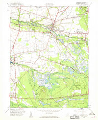
1957 Map of Pemberton
USGS Topo · Published 1969About this map
The North Branch Rancocas Creek and South Branch Rancocas Creek define the landscape of this mid-century Burlington County survey, where small villages and agricultural industry meet military expansion. The township centers of Pemberton and South Pemberton serve as the focal points for a network of rail and road, including the Pennsylvania Railroad and the Union Transportation line. To the northeast, the corner of the Fort Dix Military Reservation encroaches upon the rural landscape, signaling the region's increasing strategic importance.
Find a feature on this map
51 named features on this map. Tap any name to fly to it.
Don’t see what you’re looking for? This feature index may not catch every label — zoom into the map to look around manually.
Map Details
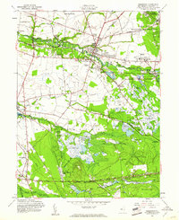
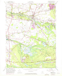
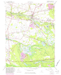
Editions of this 1957 Pemberton Map
4 editions found
Other maps of this area

1888 · Bordentown
USGS Topo · 1:62,500

1888 · Pemberton
USGS Topo · 1:62,500

1888 · Mount Holly
USGS Topo · 1:62,500

1890 · Burlington
USGS Topo · 1:62,500

1893 · Bordentown
USGS Topo · 1:62,500

1893 · Burlington
USGS Topo · 1:62,500

1894 · Pemberton
USGS Topo · 1:62,500

1894 · Mount Holly
USGS Topo · 1:62,500

1898 · Pemberton
USGS Topo · 1:62,500

1898 · Mount Holly
USGS Topo · 1:62,500
Featured Places
- Southampton Township, NJ
- Tabernacle Township, NJ
- Eastampton Township, NJ
- Springfield Township, NJ
- Pemberton, NJ