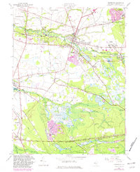
1957 Map of Pemberton
USGS Topo · Published 1982About this map
The North Branch Rancocas Creek winds through the heart of Burlington County, defining the early geography of Pemberton and neighboring Birmingham. This mid-century view shows an agricultural landscape transitioning through the 1950s, with extensive Cranberry Bog operations dotting the lowlands near Buddtown and the South Branch Rancocas Creek. To the northeast, the presence of the Fort Dix Military Reservation and industrial markers like the Conrail line signify the area's strategic and logistical importance. Local social history is visible in the placement of the County Welfare Home, Newcomb Hospital, and various rural congregations such as Oak Grove Ch. The southern portion of the map transitions into the dense woods of the Lebanon State Forest, where the terrain drops toward the headwaters of Friendship Creek and Old Forge Lake.
Find a feature on this map
58 named features on this map. Tap any name to fly to it.
Don’t see what you’re looking for? This feature index may not catch every label — zoom into the map to look around manually.
Map Details
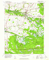
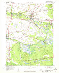
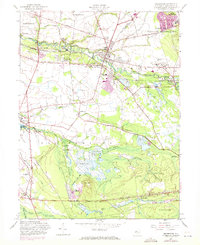
Editions of this 1957 Pemberton Map
4 editions found
Other maps of this area

1888 · Bordentown
USGS Topo · 1:62,500

1888 · Pemberton
USGS Topo · 1:62,500

1888 · Mount Holly
USGS Topo · 1:62,500

1890 · Burlington
USGS Topo · 1:62,500

1893 · Bordentown
USGS Topo · 1:62,500

1893 · Burlington
USGS Topo · 1:62,500

1894 · Pemberton
USGS Topo · 1:62,500

1894 · Mount Holly
USGS Topo · 1:62,500

1898 · Pemberton
USGS Topo · 1:62,500

1898 · Mount Holly
USGS Topo · 1:62,500
Featured Places
- Southampton Township, NJ
- Tabernacle Township, NJ
- Eastampton Township, NJ
- Springfield Township, NJ
- Pemberton, NJ