
1949 Map of Pembroke
USGS Topo · Published 1952About this map
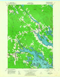
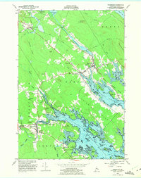
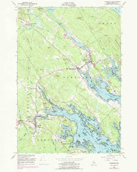
Pembroke and the neighboring settlements of West Pembroke and Dennysville define the coast of Washington County in the late 1940s. The landscape is dominated by the tidal complexities of the Pennamaquan River and the Dennys River, which reach into the interior between Hersey Neck and Leighton Neck. The Maine Central railroad corridor provides a vital link through the territory, passing through Ayers Junction and Dennysville Station.
Find a feature on this map
68 named features on this map. Tap any name to fly to it.
Don’t see what you’re looking for? This feature index may not catch every label — zoom into the map to look around manually.
Map Details
Editions of this 1949 Pembroke Map
4 editions found
Other maps of this area

1907 · Eastport
USGS Topo · 1:48,000

1908 · Eastport
USGS Topo · 1:62,500

1929 · Calais
USGS Topo · 1:48,000

1929 · Robbinston
USGS Topo · 1:48,000

1931 · Robbinston
USGS Topo · 1:62,500

1932 · Calais
USGS Topo · 1:62,500

1941 · Gardner Lake
USGS Topo · 1:62,500

1943 · Gardner Lake
USGS Topo · 1:62,500

1943 · Eastport
USGS Topo · 1:62,500

1945 · Eastport
USGS Topo · 1:62,500