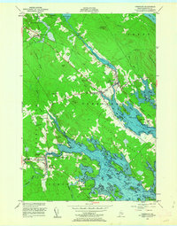
1949 Map of Pembroke
USGS Topo · Published 1963About this map
Maine Central rail lines converge at Ayers Junction in this post-war survey of Washington County, illustrating the coastal transport networks of eastern Maine. The landscape is defined by the tidal reach of the Pennamaquan River and the Dennys River, which flow through heavily wooded terrain marked by numerous family-named landmarks like Lyons Hill and Goggins Head. The village of Pembroke serves as a central hub, while smaller clusters such as Lower Dennysville and Ayers PO indicate the distribution of local post offices and community life.
Find a feature on this map
72 named features on this map. Tap any name to fly to it.
Don’t see what you’re looking for? This feature index may not catch every label — zoom into the map to look around manually.
Map Details
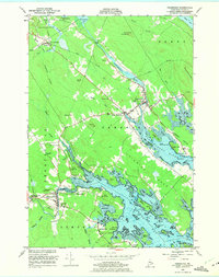
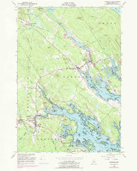
Editions of this 1949 Pembroke Map
4 editions found

Other maps of this area

1907 · Eastport
USGS Topo · 1:48,000

1908 · Eastport
USGS Topo · 1:62,500

1929 · Calais
USGS Topo · 1:48,000

1929 · Robbinston
USGS Topo · 1:48,000

1931 · Robbinston
USGS Topo · 1:62,500

1932 · Calais
USGS Topo · 1:62,500

1941 · Gardner Lake
USGS Topo · 1:62,500

1943 · Gardner Lake
USGS Topo · 1:62,500

1943 · Eastport
USGS Topo · 1:62,500

1945 · Eastport
USGS Topo · 1:62,500