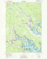
1949 Map of Pembroke
USGS Topo · Published 1978About this map
The Maine Central railroad corridor anchors this coastal Washington County landscape, connecting the village of Pembroke to the rail junction at Ayers Junction. Along the tidal waters of the Pennamaquan River and Dennys River, the map reveals a mid-century community shaped by its waterways and woods. Several small schoolhouses and cemeteries, such as Preston Sch and Hillside Cem, suggest a decentralized settlement pattern typical of Down East Maine before modern consolidation.
Find a feature on this map
75 named features on this map. Tap any name to fly to it.
Don’t see what you’re looking for? This feature index may not catch every label — zoom into the map to look around manually.
Map Details
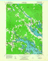
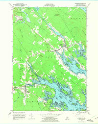
Editions of this 1949 Pembroke Map
4 editions found

Other maps of this area

1907 · Eastport
USGS Topo · 1:48,000

1908 · Eastport
USGS Topo · 1:62,500

1929 · Calais
USGS Topo · 1:48,000

1929 · Robbinston
USGS Topo · 1:48,000

1931 · Robbinston
USGS Topo · 1:62,500

1932 · Calais
USGS Topo · 1:62,500

1941 · Gardner Lake
USGS Topo · 1:62,500

1943 · Gardner Lake
USGS Topo · 1:62,500

1943 · Eastport
USGS Topo · 1:62,500

1945 · Eastport
USGS Topo · 1:62,500