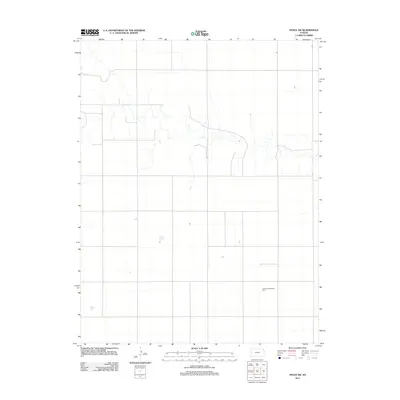
2012 Map of Pence SW
USGS Topo · Published 2012About this map
Agricultural development and energy production define this section of Wichita County, where the high plains landscape is marked by a vast network of section-line roads and seasonal drainage patterns. The most prominent modern addition to the terrain is the Central Plains Wind Farm, which spans across the southeastern quadrant of the sheet. This renewable energy installation represents the contemporary industrial layer over a historically rural environment, contrasting with the subtle topographic contours and intermittent watercourses that have shaped farming and ranching in the region for generations. The layout illustrates the precision of western Kansas township surveying, where the grid remains the primary organizing force of human activity.
Find a feature on this map
1 named feature on this map. Tap any name to fly to it.
Don’t see what you’re looking for? This feature index may not catch every label — zoom into the map to look around manually.
Map Details
Editions of this 2012 Pence SW Map
This is the sole edition of this map. No revisions or reprints were ever made.
Other maps of this area

1939 · Pence
USGS Topo · 1:62,500

1941 · Modoc
USGS Topo · 1:62,500

1941 · Pence
USGS Topo · 1:62,500

1951 · Modoc
USGS Topo · 1:62,500

1955 · Scott City
USGS Topo · 1:250,000

1958 · Scott City
USGS Topo · 1:250,000

1968 · Russell Springs 3 SE
USGS Topo · 1:24,000

1968 · Russell Springs 3 NE
USGS Topo · 1:24,000

1970 · Leoti
USGS Topo · 1:24,000
1976 · Pence
USGS Topo · 1:24,000