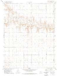
1976 Map of Pence SW
USGS Topo · Published 1978About this map
Ladder Creek meanders across this High Plains landscape, cutting a distinct drainage through the otherwise flat terrain of western Kansas. This mid-1970s survey captures the rural character of eastern Leoti township along the border of Wichita and Scott Counties. The map reveals an area defined by extensive agricultural land management and resource extraction, with numerous Wells dotting the landscape and several Gravel Pits located near the creek banks. These features highlight the importance of water access and local materials in supporting the regional economy during this era. The topographic detail provided by the Geological Survey illustrates the subtle elevation changes that define the drainage basins in this part of the state, offering a precise look at the land use and natural features before late-century development shifted the local footprint.
Find a feature on this map
6 named features on this map. Tap any name to fly to it.
Don’t see what you’re looking for? This feature index may not catch every label — zoom into the map to look around manually.
Map Details
Editions of this 1976 Pence SW Map
This is the sole edition of this map. No revisions or reprints were ever made.
Other maps of this area

1939 · Pence
USGS Topo · 1:62,500

1941 · Modoc
USGS Topo · 1:62,500

1941 · Pence
USGS Topo · 1:62,500

1951 · Modoc
USGS Topo · 1:62,500

1955 · Scott City
USGS Topo · 1:250,000

1958 · Scott City
USGS Topo · 1:250,000

1968 · Russell Springs 3 SE
USGS Topo · 1:24,000

1968 · Russell Springs 3 NE
USGS Topo · 1:24,000

1970 · Leoti
USGS Topo · 1:24,000
1976 · Pence
USGS Topo · 1:24,000