2024 Map of Pendergrass
USGS Topo · Published 2024About this map
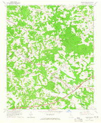
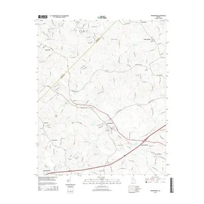
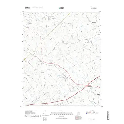
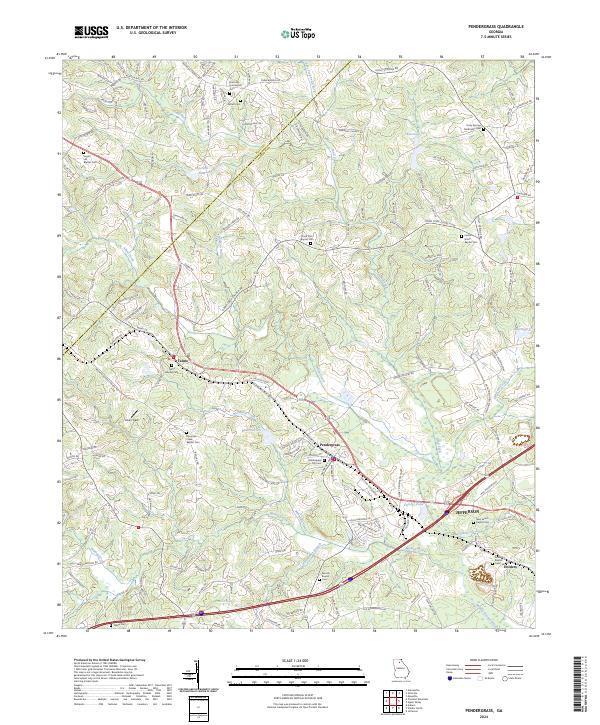
Talmo and Pendergrass serve as central nodes in this northeastern Georgia landscape, where the headwaters of the Middle Oconee River begin their descent through the hills. This modern survey illustrates a topography defined by an intricate network of creeks, including Allen Creek, Mountain Creek, and Walnut Creek, interspersed with small-scale impoundments such as Reservoir Six and Factory Pond. The map reveals a high density of rural religious and funerary sites, suggesting a deep-rooted community structure across Jackson and Hall counties. Genealogists will find a wealth of data in the numerous family and denominational burial grounds, such as Sugar Hill Baptist Cem and the Jarrett Cem. The transition from the rural outskirts of Jefferson to the smaller settlements like Holders is marked by a mix of historic secondary roads and newer developments like the Jackson Concourse.
Find a feature on this map
162 named features on this map. Tap any name to fly to it.
Don’t see what you’re looking for? This feature index may not catch every label — zoom into the map to look around manually.
Map Details
Editions of this 2024 Pendergrass Map
This is the sole edition of this map. No revisions or reprints were ever made.
Historical Maps of Jefferson Through Time
6 maps found